Ivry-sur-Seine night lights from space
Night Light of Ivry-sur-Seine (Île-de-France) from space (France) Src. Average luminocity for 10x10km area is 99.3665% and for 50x50km: 76.8179%.
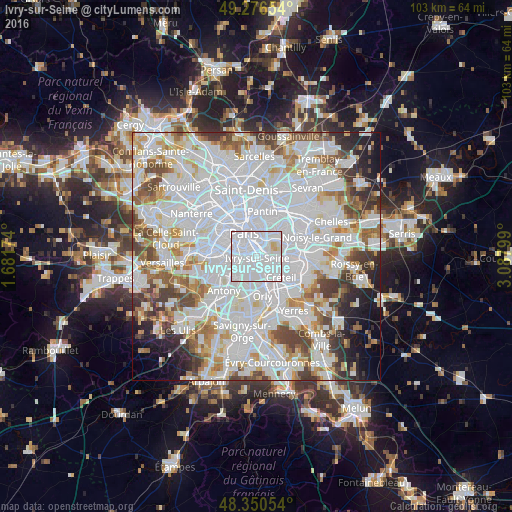
Analysis of Ivry-sur-Seine night lights 2016
Square area 10x10 km:
 86.51%
90-99
10.94%80-89
2.27%70-79
0.28%60-69
0%50-59
0%40-49
0%30-39
0%20-29
0%10-19
0%0-9
0%Square area 50x50 km:
36.48%90-99
19.87%80-89
5.44%70-79
5.48%60-69
5.91%50-59
4.91%40-49
5.53%30-39
4.38%20-29
4.23%10-19
4.45%0-9
3.32%Clear (daylight) street map image can be seen on geolist.org.
Map coordinates:
49° 16' 35.5" North, 1° 40' 54.3" East
48° 48' 56.4" North, 2° 23' 5.5" East
48° 21' 1.9" North, 3° 5' 16.8" East
Some cities around Ivry-sur-Seine sort by population:
• Vitry-sur-Seine
3.4 km =2.1 mi,  156°
156°
• Villejuif
3 km =1.9 mi,  217°
217°
• Alfortville
2.8 km =1.7 mi,  112°
112°
• Charenton-le-Pont
2.1 km =1.3 mi,  70°
70°
• Le Kremlin-Bicêtre
1.8 km =1.1 mi,  266°
266°
• Saint-Mandé
3.4 km =2.1 mi,  41°
41°
• Gentilly
3.2 km =2 mi,  264°
264°
• Saint-Maurice
3.2 km =2 mi,  77°
77°
3012621 (p: 57,897)
Sources (retrieved 2019-11-25):
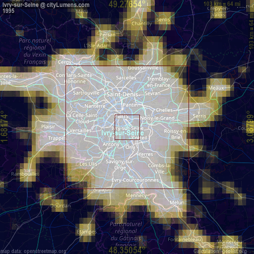
» NASA, Earths city lights 1995
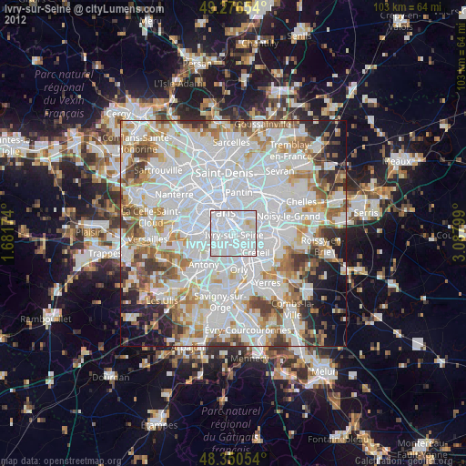
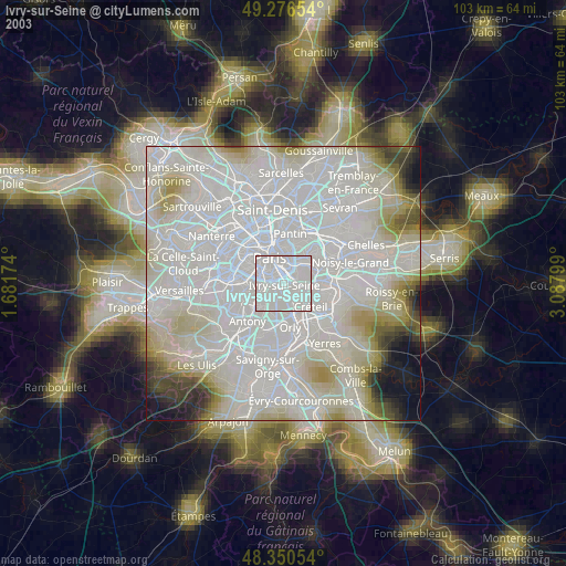
» NASA city lights 2003
» Earth at Night: Flat Maps 2012, 2016