Charenton-le-Pont night lights from space
Night Light of Charenton-le-Pont (Île-de-France) from space (France) Src. Average luminocity for 10x10km area is 99.294% and for 50x50km: 75.6751%.
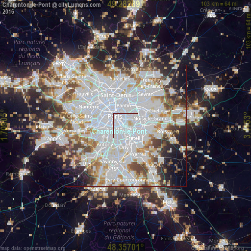
Analysis of Charenton-le-Pont night lights 2016
Square area 10x10 km:
 79.97%
90-99
17.47%80-89
2.27%70-79
0.28%60-69
0%50-59
0%40-49
0%30-39
0%20-29
0%10-19
0%0-9
0%Square area 50x50 km:
36.16%90-99
19.34%80-89
5.24%70-79
5.27%60-69
5.78%50-59
4.81%40-49
5.39%30-39
4.2%20-29
4.89%10-19
5.12%0-9
3.81%Clear (daylight) street map image can be seen on geolist.org.
Map coordinates:
49° 16' 58.4" North, 1° 42' 32.6" East
48° 49' 19.5" North, 2° 24' 43.8" East
48° 21' 25.2" North, 3° 6' 55.1" East
Some cities around Charenton-le-Pont sort by population:
• Vitry-sur-Seine
3.9 km =2.4 mi,  189°
189°
• Ivry-sur-Seine
2.1 km =1.3 mi,  250°
250°
• Maisons-Alfort
2.3 km =1.4 mi,  120°
120°
• Vincennes
3.5 km =2.2 mi,  32°
32°
• Alfortville
1.9 km =1.2 mi,  161°
161°
• Le Kremlin-Bicêtre
3.9 km =2.4 mi,  257°
257°
• Saint-Mandé
1.9 km =1.2 mi,  8°
8°
• Saint-Maurice
1.1 km =0.7 mi,  91°
91°
3026637 (p: 30,910)
Sources (retrieved 2019-11-25):
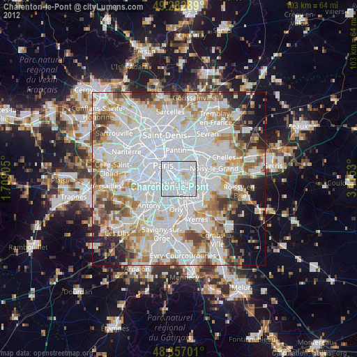
» Earth at Night: Flat Maps 2012, 2016