Alfortville night lights from space
Night Light of Alfortville (Île-de-France) from space (France) Src. Average luminocity for 10x10km area is 99.3111% and for 50x50km: 74.9285%.
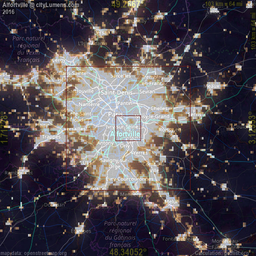
Analysis of Alfortville night lights 2016
Square area 10x10 km:
 81.68%
90-99
15.77%80-89
2.27%70-79
0.28%60-69
0%50-59
0%40-49
0%30-39
0%20-29
0%10-19
0%0-9
0%Square area 50x50 km:
36.06%90-99
19.2%80-89
5.04%70-79
5.23%60-69
5.44%50-59
4.65%40-49
5.22%30-39
4.43%20-29
4.63%10-19
5.31%0-9
4.79%Clear (daylight) street map image can be seen on geolist.org.
Map coordinates:
49° 16' 0.1" North, 1° 43' 2.2" East
48° 48' 20.7" North, 2° 25' 13.4" East
48° 20' 25.9" North, 3° 7' 24.7" East
Some cities around Alfortville sort by population:
• Créteil
3.6 km =2.2 mi,  113°
113°
• Vitry-sur-Seine
2.4 km =1.5 mi,  211°
211°
• Ivry-sur-Seine
2.8 km =1.7 mi,  292°
292°
• Maisons-Alfort
1.5 km =0.9 mi,  64°
64°
• Choisy-le-Roi
4.1 km =2.5 mi,  181°
181°
• Charenton-le-Pont
1.9 km =1.2 mi,  341°
341°
• Saint-Mandé
3.7 km =2.3 mi,  354°
354°
• Saint-Maurice
1.9 km =1.2 mi,  15°
15°
3038213 (p: 37,290)
Sources (retrieved 2019-11-25):
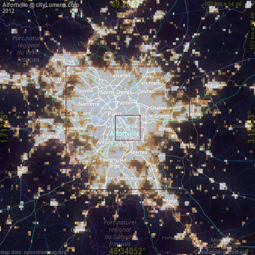
» Earth at Night: Flat Maps 2012, 2016