Le Kremlin-Bicêtre night lights from space
Night Light of Le Kremlin-Bicêtre (Île-de-France) from space (France) Src. Average luminocity for 10x10km area is 99.8139% and for 50x50km: 77.5143%.
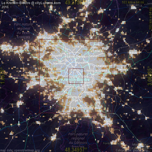
Analysis of Le Kremlin-Bicêtre night lights 2016
Square area 10x10 km:
 90.2%
90.2%90-99
9.52%80-89
0.28%70-79
0%60-69
0%50-59
0%40-49
0%30-39
0%20-29
0%10-19
0%0-9
0%Square area 50x50 km:
36.74%90-99
20.1%80-89
5.71%70-79
5.39%60-69
5.93%50-59
4.94%40-49
5.82%30-39
4.68%20-29
3.95%10-19
3.52%0-9
3.21%Clear (daylight) street map image can be seen on geolist.org.
Map coordinates:
49° 16' 32.1" North, 1° 39' 27.4" East
48° 48' 53" North, 2° 21' 38.6" East
48° 20' 58.5" North, 3° 3' 49.9" East
Some cities around Le Kremlin-Bicêtre sort by population:
• Ivry-sur-Seine
1.8 km =1.1 mi,  86°
86°
• Villejuif
2.3 km =1.4 mi,  181°
181°
• Montrouge
3.4 km =2.1 mi,  272°
272°
• Charenton-le-Pont
3.9 km =2.4 mi,  77°
77°
• L'Haÿ-les-Roses
4 km =2.5 mi,  209°
209°
• Cachan
2.7 km =1.7 mi,  220°
220°
• Arcueil
2.6 km =1.6 mi,  231°
231°
• Gentilly
1.4 km =0.9 mi,  261°
261°
3003737 (p: 27,867)
Sources (retrieved 2019-11-25):
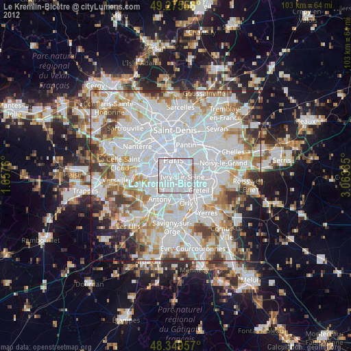
» Earth at Night: Flat Maps 2012, 2016