Saint-Mandé night lights from space
Night Light of Saint-Mandé (Île-de-France) from space (France) Src. Average luminocity for 10x10km area is 99.2898% and for 50x50km: 75.156%.
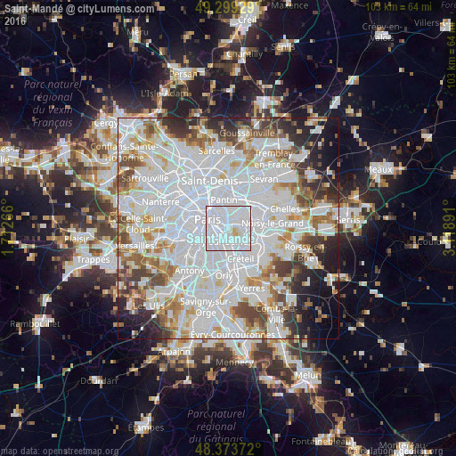
Analysis of Saint-Mandé night lights 2016
Square area 10x10 km:
 79.55%
90-99
17.9%80-89
2.27%70-79
0.28%60-69
0%50-59
0%40-49
0%30-39
0%20-29
0%10-19
0%0-9
0%Square area 50x50 km:
35.92%90-99
19.02%80-89
5.15%70-79
5.05%60-69
5.6%50-59
4.89%40-49
5.36%30-39
4.48%20-29
5.68%10-19
5.65%0-9
3.18%Clear (daylight) street map image can be seen on geolist.org.
Map coordinates:
49° 17' 57.4" North, 1° 42' 45.6" East
48° 50' 19.1" North, 2° 24' 56.8" East
48° 22' 25.4" North, 3° 7' 8.1" East
Some cities around Saint-Mandé sort by population:
• Montreuil
3.5 km =2.2 mi,  35°
35°
• Ivry-sur-Seine
3.4 km =2.1 mi,  221°
221°
• Maisons-Alfort
3.5 km =2.2 mi,  149°
149°
• Vincennes
1.9 km =1.2 mi,  55°
55°
• Alfortville
3.7 km =2.3 mi,  174°
174°
• Bagnolet
3.1 km =1.9 mi,  1°
1°
• Charenton-le-Pont
1.9 km =1.2 mi,  188°
188°
• Joinville-le-Pont
4.5 km =2.8 mi,  108°
108°
2978621 (p: 21,261)
Sources (retrieved 2019-11-25):
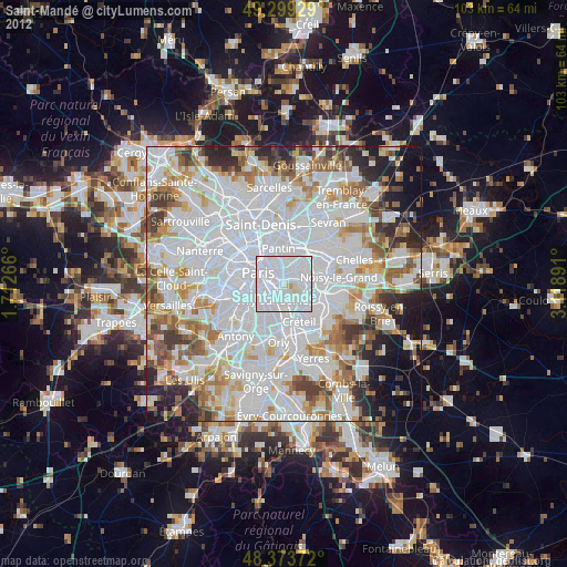
» Earth at Night: Flat Maps 2012, 2016