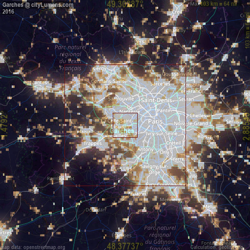
Garches night lights from space
Night Light of Garches (Île-de-France) from space (France) Src. Average luminocity for 10x10km area is 93.3949% and for 50x50km: 70.4013%.
Analysis of Garches night lights 2016
Square area 10x10 km:
 41.05%
90-99
33.66%80-89
10.8%70-79
9.52%60-69
4.83%50-59
0.14%40-49
0%30-39
0%20-29
0%10-19
0%0-9
0%Square area 50x50 km:
32.92%90-99
17.03%80-89
5.12%70-79
5.02%60-69
5.34%50-59
4.57%40-49
5.92%30-39
4.52%20-29
6.01%10-19
7.05%0-9
6.5%Clear (daylight) street map image can be seen on geolist.org.
Map coordinates:
49° 18' 10.3" North, 1° 28' 45.1" East
48° 50' 32.1" North, 2° 10' 56.4" East
48° 22' 38.5" North, 2° 53' 7.6" East
Some cities around Garches sort by population:
• Rueil-Malmaison
3.8 km =2.4 mi,  8°
8°
• Saint-Cloud
1.6 km =1 mi,  74°
74°
• Sèvres
3.4 km =2.1 mi,  129°
129°
• La Celle-Saint-Cloud
2.9 km =1.8 mi,  288°
288°
• Chaville
4.1 km =2.5 mi,  173°
173°
• Ville-d’Avray
2.2 km =1.4 mi,  159°
159°
• Bougival
3.7 km =2.3 mi,  306°
306°
• Vaucresson
1.9 km =1.2 mi,  265°
265°
3016675 (p: 18,930)
Sources (retrieved 2019-11-25):
» Earth at Night: Flat Maps 2012, 2016