Sèvres night lights from space
Night Light of Sèvres (Île-de-France) from space (France) Src. Average luminocity for 10x10km area is 92.6435% and for 50x50km: 72.9317%.
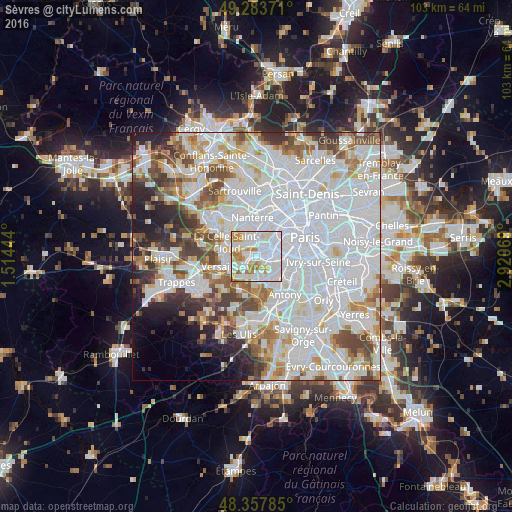
Analysis of Sèvres night lights 2016
Square area 10x10 km:
 42.47%
90-99
30.4%80-89
9.23%70-79
10.65%60-69
6.25%50-59
0.99%40-49
0%30-39
0%20-29
0%10-19
0%0-9
0%Square area 50x50 km:
34.87%90-99
17.98%80-89
5.31%70-79
5.23%60-69
5.54%50-59
4.61%40-49
5.8%30-39
4.19%20-29
4.75%10-19
4.68%0-9
7.03%Clear (daylight) street map image can be seen on geolist.org.
Map coordinates:
49° 17' 1.4" North, 1° 30' 52" East
48° 49' 22.5" North, 2° 13' 3.3" East
48° 21' 28.3" North, 2° 55' 14.5" East
Some cities around Sèvres sort by population:
• Boulogne-Billancourt
2.2 km =1.4 mi,  51°
51°
• Issy-les-Moulineaux
4.4 km =2.7 mi,  92°
92°
• Clamart
4.2 km =2.6 mi,  121°
121°
• Meudon
1.6 km =1 mi,  128°
128°
• Saint-Cloud
2.8 km =1.7 mi,  337°
337°
• Garches
3.4 km =2.1 mi,  309°
309°
• Chaville
2.9 km =1.8 mi,  227°
227°
• Ville-d’Avray
1.8 km =1.1 mi,  272°
272°
2974678 (p: 23,724)
Sources (retrieved 2019-11-25):
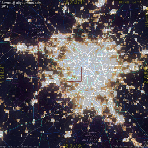
» Earth at Night: Flat Maps 2012, 2016