Rueil-Malmaison night lights from space
Night Light of Rueil-Malmaison (Île-de-France) from space (France) Src. Average luminocity for 10x10km area is 96.2656% and for 50x50km: 69.7377%.
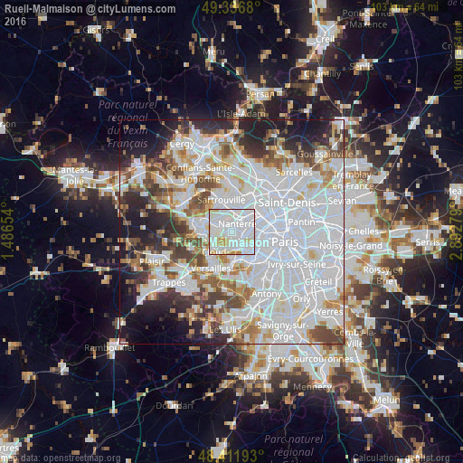
Analysis of Rueil-Malmaison night lights 2016
Square area 10x10 km:
 54.12%
90-99
31.96%80-89
6.11%70-79
7.39%60-69
0.43%50-59
0%40-49
0%30-39
0%20-29
0%10-19
0%0-9
0%Square area 50x50 km:
32.61%90-99
16.29%80-89
4.97%70-79
4.88%60-69
5.36%50-59
4.58%40-49
6%30-39
5.01%20-29
7.06%10-19
8.13%0-9
5.1%Clear (daylight) street map image can be seen on geolist.org.
Map coordinates:
49° 20' 12.5" North, 1° 29' 11.5" East
48° 52' 35.4" North, 2° 11' 22.8" East
48° 24' 42.9" North, 2° 53' 34" East
Some cities around Rueil-Malmaison sort by population:
• Nanterre
2.1 km =1.3 mi,  35°
35°
• Suresnes
3 km =1.9 mi,  101°
101°
• Puteaux
3.7 km =2.3 mi,  77°
77°
• Chatou
2.7 km =1.7 mi,  303°
303°
• Saint-Cloud
3.5 km =2.2 mi,  164°
164°
• Garches
3.8 km =2.4 mi,  188°
188°
• Carrières-sur-Seine
3.5 km =2.2 mi,  347°
347°
• Croissy-sur-Seine
3.8 km =2.4 mi,  274°
274°
2982235 (p: 76,616)
Sources (retrieved 2019-11-25):
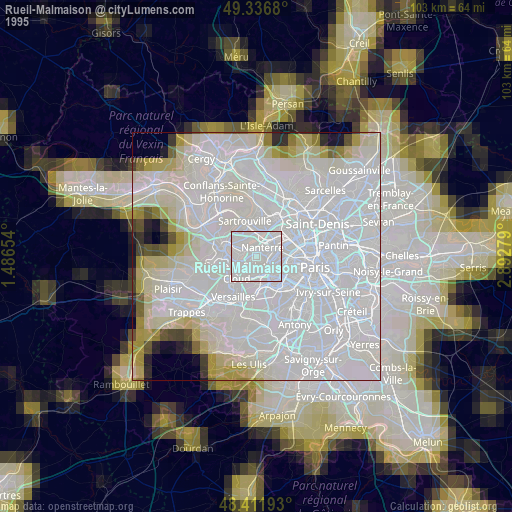
» NASA, Earths city lights 1995
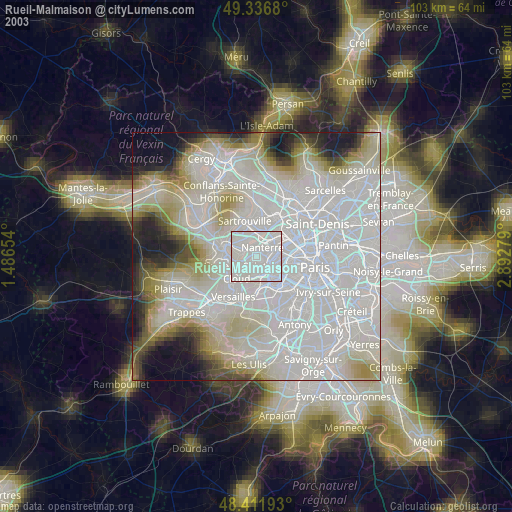
» NASA city lights 2003
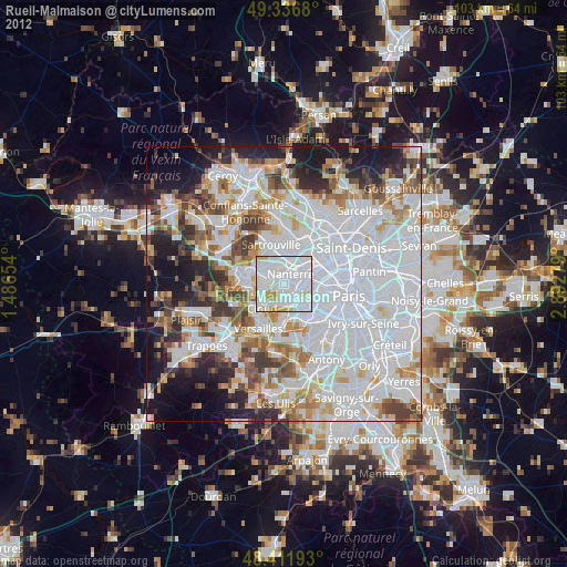
» Earth at Night: Flat Maps 2012, 2016