Saint-Cloud night lights from space
Night Light of Saint-Cloud (Île-de-France) from space (France) Src. Average luminocity for 10x10km area is 94.7173% and for 50x50km: 71.985%.
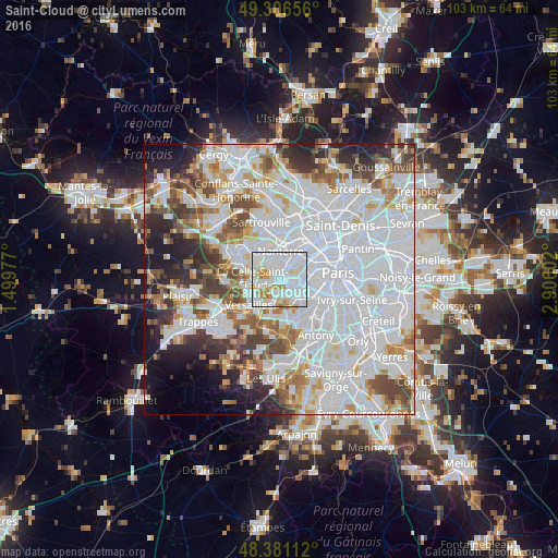
Analysis of Saint-Cloud night lights 2016
Square area 10x10 km:
 46.59%
90-99
33.52%80-89
7.95%70-79
8.38%60-69
3.55%50-59
0%40-49
0%30-39
0%20-29
0%10-19
0%0-9
0%Square area 50x50 km:
33.98%90-99
17.38%80-89
5.25%70-79
5.11%60-69
5.45%50-59
4.72%40-49
5.95%30-39
4.58%20-29
5.95%10-19
6.05%0-9
5.58%Clear (daylight) street map image can be seen on geolist.org.
Map coordinates:
49° 18' 23.6" North, 1° 29' 59.2" East
48° 50' 45.5" North, 2° 12' 10.4" East
48° 22' 52" North, 2° 54' 21.7" East
Some cities around Saint-Cloud sort by population:
• Boulogne-Billancourt
3 km =1.9 mi,  112°
112°
• Rueil-Malmaison
3.5 km =2.2 mi,  344°
344°
• Suresnes
3.4 km =2.1 mi,  34°
34°
• Sèvres
2.8 km =1.7 mi,  157°
157°
• La Celle-Saint-Cloud
4.2 km =2.6 mi,  276°
276°
• Garches
1.6 km =1 mi,  254°
254°
• Ville-d’Avray
2.6 km =1.6 mi,  196°
196°
• Vaucresson
3.4 km =2.1 mi,  260°
260°
2981041 (p: 28,839)
Sources (retrieved 2019-11-25):
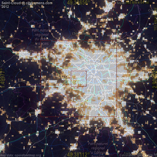
» Earth at Night: Flat Maps 2012, 2016