La Celle-Saint-Cloud night lights from space
Night Light of La Celle-Saint-Cloud (Île-de-France) from space (France) Src. Average luminocity for 10x10km area is 87.9957% and for 50x50km: 66.9451%.
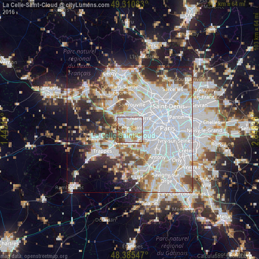
Analysis of La Celle-Saint-Cloud night lights 2016
Square area 10x10 km:
 32.95%
90-99
31.96%80-89
8.52%70-79
10.23%60-69
7.67%50-59
2.98%40-49
5.68%30-39
0%20-29
0%10-19
0%0-9
0%Square area 50x50 km:
30.03%90-99
16.28%80-89
5%70-79
4.79%60-69
5.39%50-59
4.46%40-49
5.71%30-39
4.67%20-29
6.61%10-19
8.99%0-9
8.07%Clear (daylight) street map image can be seen on geolist.org.
Map coordinates:
49° 18' 39" North, 1° 26' 31.6" East
48° 51' 1" North, 2° 8' 42.8" East
48° 23' 7.7" North, 2° 50' 54.1" East
Some cities around La Celle-Saint-Cloud sort by population:
• Rueil-Malmaison
4.4 km =2.7 mi,  48°
48°
• Le Chesnay
3.6 km =2.2 mi,  208°
208°
• Saint-Cloud
4.2 km =2.6 mi,  96°
96°
• Garches
2.9 km =1.8 mi,  108°
108°
• Croissy-sur-Seine
3.3 km =2.1 mi,  351°
351°
• Bougival
1.4 km =0.9 mi, 348°
• Vaucresson
1.3 km =0.8 mi,  142°
142°
• Louveciennes
2.5 km =1.6 mi,  298°
298°
3010529 (p: 21,539)
Sources (retrieved 2019-11-25):
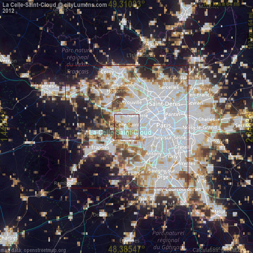
» Earth at Night: Flat Maps 2012, 2016