Corbie night lights from space
Night Light of Corbie (Hauts-de-France) from space (France) Src. Average luminocity for 10x10km area is 4.4594% and for 50x50km: 7.6785%.
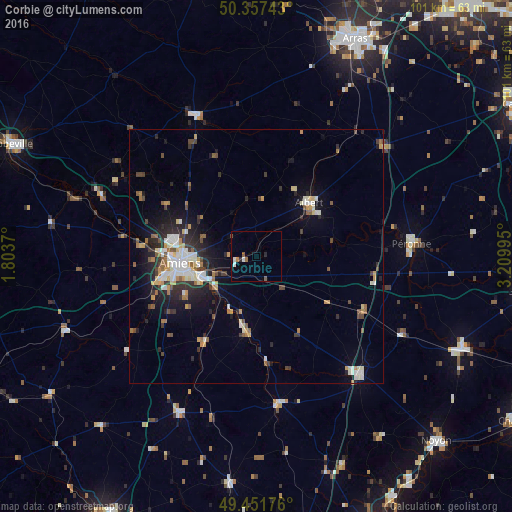
Analysis of Corbie night lights 2016
Square area 10x10 km:
 0.42%
0.42%90-99
1.26%80-89
0%70-79
0%60-69
0.56%50-59
1.68%40-49
0.56%30-39
0%20-29
1.12%10-19
0%0-9
94.4%Square area 50x50 km:
1.08%90-99
1.45%80-89
0.71%70-79
0.91%60-69
0.84%50-59
0.86%40-49
0.93%30-39
1.08%20-29
2.46%10-19
4.01%0-9
85.67%Clear (daylight) street map image can be seen on geolist.org.
Map coordinates:
50° 21' 26.7" North, 1° 48' 13.3" East
49° 54' 24.2" North, 2° 30' 24.6" East
49° 27' 6.3" North, 3° 12' 35.8" East
Some cities around Corbie sort by population:
• Amiens
14.8 km =9.2 mi,  267°
267°
• Albert
14.7 km =9.1 mi,  44°
44°
• Péronne
30.9 km =19.2 mi,  84°
84°
• Roye
30.6 km =19 mi,  138°
138°
• Montdidier
29.1 km =18.1 mi,  171°
171°
• Doullens
30.3 km =18.8 mi,  336°
336°
• Ham
44.3 km =27.5 mi,  113°
113°
• Longueau
11.3 km =7 mi,  250°
250°
3023742 (p: 6,486)
Sources (retrieved 2019-11-25):
» Earth at Night: Flat Maps 2012, 2016