Chelles night lights from space
Night Light of Chelles (Île-de-France) from space (France) Src. Average luminocity for 10x10km area is 89.2301% and for 50x50km: 58.2939%.
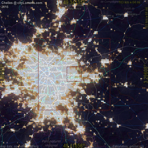
Analysis of Chelles night lights 2016
Square area 10x10 km:
 35.8%
35.8%90-99
33.38%80-89
9.52%70-79
4.4%60-69
6.68%50-59
6.39%40-49
3.27%30-39
0.57%20-29
0%10-19
0%0-9
0%Square area 50x50 km:
28.6%90-99
12.97%80-89
3.41%70-79
3.13%60-69
3.83%50-59
3.61%40-49
3.99%30-39
4.36%20-29
6.75%10-19
12.84%0-9
16.51%Clear (daylight) street map image can be seen on geolist.org.
Map coordinates:
49° 20' 28.9" North, 1° 53' 23.4" East
48° 52' 51.9" North, 2° 35' 34.6" East
48° 24' 59.6" North, 3° 17' 45.9" East
Some cities around Chelles sort by population:
• Noisy-le-Grand
4.1 km =2.5 mi,  212°
212°
• Clichy-sous-Bois
4.3 km =2.7 mi,  318°
318°
• Champs-sur-Marne
3.5 km =2.2 mi,  171°
171°
• Montfermeil
2.2 km =1.4 mi,  332°
332°
• Noisiel
4.3 km =2.7 mi,  147°
147°
• Vaires-sur-Marne
3.5 km =2.2 mi,  98°
98°
• Courtry
4.3 km =2.7 mi,  11°
11°
• Gournay-sur-Marne
2.2 km =1.4 mi,  196°
196°
3025622 (p: 46,947)
Sources (retrieved 2019-11-25):
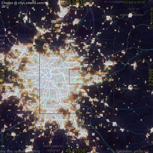
» Earth at Night: Flat Maps 2012, 2016