Maisons-Alfort night lights from space
Night Light of Maisons-Alfort (Île-de-France) from space (France) Src. Average luminocity for 10x10km area is 99.3168% and for 50x50km: 74.0348%.
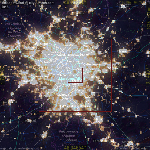
Analysis of Maisons-Alfort night lights 2016
Square area 10x10 km:
 81.96%
90-99
15.48%80-89
2.27%70-79
0.28%60-69
0%50-59
0%40-49
0%30-39
0%20-29
0%10-19
0%0-9
0%Square area 50x50 km:
35.77%90-99
19.02%80-89
5.02%70-79
5.05%60-69
5.21%50-59
4.44%40-49
4.91%30-39
4.44%20-29
4.73%10-19
5.7%0-9
5.7%Clear (daylight) street map image can be seen on geolist.org.
Map coordinates:
49° 16' 21.4" North, 1° 44' 10.8" East
48° 48' 42.2" North, 2° 26' 22" East
48° 20' 47.5" North, 3° 8' 33.3" East
Some cities around Maisons-Alfort sort by population:
• Créteil
2.9 km =1.8 mi,  137°
137°
• Vitry-sur-Seine
3.8 km =2.4 mi,  224°
224°
• Champigny-sur-Marne
4 km =2.5 mi,  82°
82°
• Alfortville
1.5 km =0.9 mi,  244°
244°
• Charenton-le-Pont
2.3 km =1.4 mi,  300°
300°
• Saint-Mandé
3.5 km =2.2 mi,  329°
329°
• Joinville-le-Pont
3 km =1.9 mi,  59°
59°
• Saint-Maurice
1.4 km =0.9 mi,  321°
321°
2996568 (p: 53,964)
Sources (retrieved 2019-11-25):
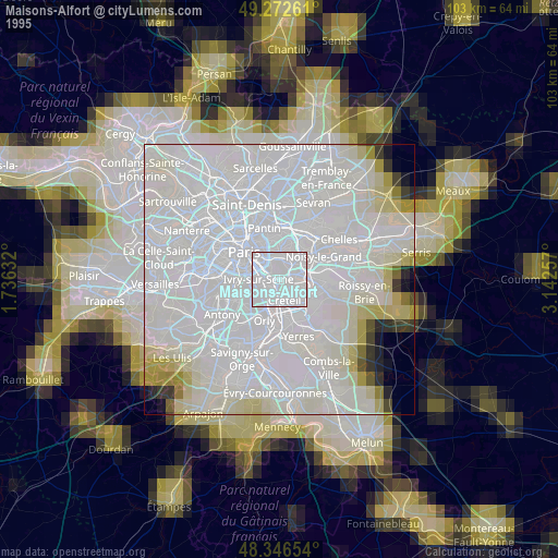
» NASA, Earths city lights 1995
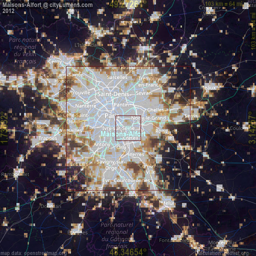
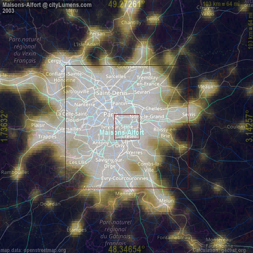
» NASA city lights 2003
» Earth at Night: Flat Maps 2012, 2016