Vincennes night lights from space
Night Light of Vincennes (Île-de-France) from space (France) Src. Average luminocity for 10x10km area is 99.2884% and for 50x50km: 73.6269%.
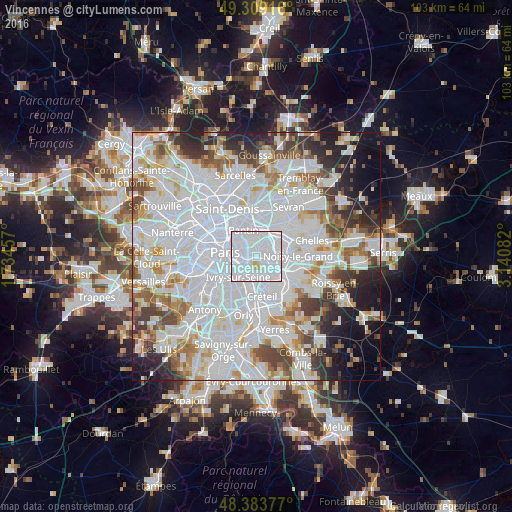
Analysis of Vincennes night lights 2016
Square area 10x10 km:
 79.4%
79.4%90-99
18.04%80-89
2.27%70-79
0.28%60-69
0%50-59
0%40-49
0%30-39
0%20-29
0%10-19
0%0-9
0%Square area 50x50 km:
35.23%90-99
18.46%80-89
5.09%70-79
4.87%60-69
5.35%50-59
4.63%40-49
5.15%30-39
4.65%20-29
5.97%10-19
6.69%0-9
3.9%Clear (daylight) street map image can be seen on geolist.org.
Map coordinates:
49° 18' 33" North, 1° 44' 4.5" East
48° 50' 55" North, 2° 26' 15.7" East
48° 23' 1.6" North, 3° 8' 27" East
Some cities around Vincennes sort by population:
• Montreuil
1.8 km =1.1 mi,  13°
13°
• Fontenay-sous-Bois
3.4 km =2.1 mi,  78°
78°
• Bagnolet
2.5 km =1.6 mi,  322°
322°
• Nogent-sur-Marne
3.5 km =2.2 mi,  111°
111°
• Charenton-le-Pont
3.5 km =2.2 mi,  212°
212°
• Saint-Mandé
1.9 km =1.2 mi,  235°
235°
• Joinville-le-Pont
3.7 km =2.3 mi,  133°
133°
• Saint-Maurice
3.1 km =1.9 mi,  194°
194°
2968054 (p: 45,923)
Sources (retrieved 2019-11-25):
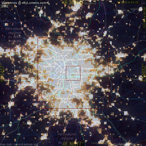
» Earth at Night: Flat Maps 2012, 2016