Villeurbanne night lights from space
Night Light of Villeurbanne (Auvergne-Rhône-Alpes) from space (France) Src. Average luminocity for 10x10km area is 95.7714% and for 50x50km: 36.4699%.
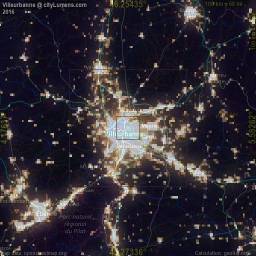
Analysis of Villeurbanne night lights 2016
Square area 10x10 km:
 71.9%
71.9%90-99
16.67%80-89
3.02%70-79
1.59%60-69
3.02%50-59
1.9%40-49
1.75%30-39
0.16%20-29
0%10-19
0%0-9
0%Square area 50x50 km:
8.99%90-99
7.32%80-89
2.72%70-79
3.77%60-69
4.04%50-59
4.75%40-49
5.01%30-39
6.19%20-29
11.58%10-19
14.38%0-9
31.25%Clear (daylight) street map image can be seen on geolist.org.
Map coordinates:
46° 15' 15.7" North, 4° 10' 34.9" East
45° 45' 57.6" North, 4° 52' 46.2" East
45° 16' 24.1" North, 5° 34' 57.4" East
Some cities around Villeurbanne sort by population:
• Lyon
3.2 km =2 mi,  232°
232°
• Caluire-et-Cuire
4.1 km =2.5 mi,  321°
321°
• Bron
4 km =2.5 mi,  139°
139°
• Vaulx-en-Velin
4.2 km =2.6 mi,  56°
56°
• Rillieux-la-Pape
5.9 km =3.7 mi,  15°
15°
• Décines-Charpieu
6.2 km =3.9 mi,  87°
87°
• Saint-Fons
6.7 km =4.2 mi,  197°
197°
• La Mulatière
6.7 km =4.2 mi, 231°
2968254 (p: 131,445)
Sources (retrieved 2019-11-25):
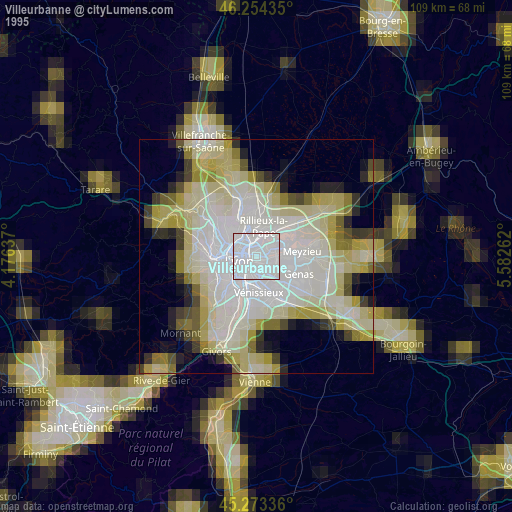
» NASA, Earths city lights 1995
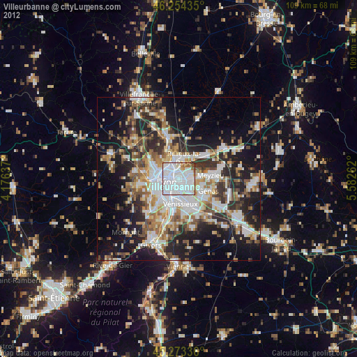
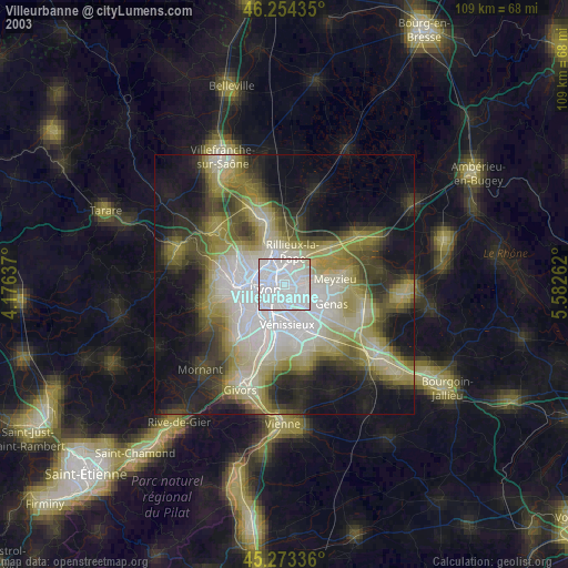
» NASA city lights 2003
» Earth at Night: Flat Maps 2012, 2016