Lyon night lights from space
Night Light of Lyon (Auvergne-Rhône-Alpes) from space (France) Src. Average luminocity for 10x10km area is 99.0636% and for 50x50km: 35.2808%.
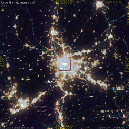

Analysis of Lyon night lights 2016
Square area 10x10 km:
 79.39%
90-99
17.88%80-89
1.06%70-79
0.45%60-69
1.21%50-59
0%40-49
0%30-39
0%20-29
0%10-19
0%0-9
0%Square area 50x50 km:
8.75%90-99
7.11%80-89
2.66%70-79
3.6%60-69
3.85%50-59
4.57%40-49
4.89%30-39
6.02%20-29
11.19%10-19
13.38%0-9
33.98%Clear (daylight) street map image can be seen on geolist.org.
Map coordinates:
46° 14' 13" North, 4° 8' 36.9" East
45° 44' 54.5" North, 4° 50' 48.2" East
45° 15' 20.4" North, 5° 32' 59.4" East
Some cities around Lyon sort by population:
• Villeurbanne
3.2 km =2 mi,  52°
52°
• Caluire-et-Cuire
5.1 km =3.2 mi,  359°
359°
• Bron
5.3 km =3.3 mi,  101°
101°
• Oullins
4.9 km =3 mi,  218°
218°
• Sainte-Foy-lès-Lyon
3.8 km =2.4 mi,  244°
244°
• Tassin-la-Demi-Lune
4.6 km =2.9 mi,  279°
279°
• Saint-Fons
4.4 km =2.7 mi,  173°
173°
• La Mulatière
3.5 km =2.2 mi,  229°
229°
2996944 (p: 472,317)
Sources (retrieved 2019-11-25):
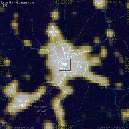
» NASA, Earths city lights 1995
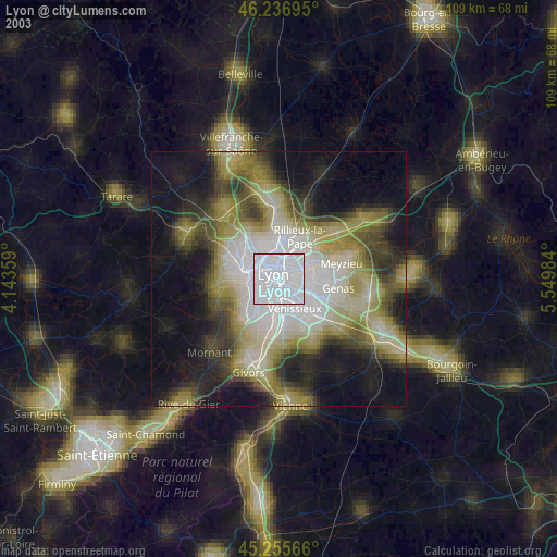
» NASA city lights 2003
» Earth at Night: Flat Maps 2012, 2016