Albi night lights from space
Night Light of Albi (Occitanie) from space (France) Src. Average luminocity for 10x10km area is 39.8524% and for 50x50km: 4.1761%.
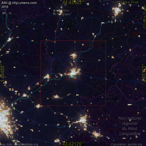
Analysis of Albi night lights 2016
Square area 10x10 km:
 5.24%
5.24%90-99
7.14%80-89
4.76%70-79
5.4%60-69
6.03%50-59
7.94%40-49
3.49%30-39
5.87%20-29
9.37%10-19
35.4%0-9
9.37%Square area 50x50 km:
0.32%90-99
0.57%80-89
0.5%70-79
0.48%60-69
0.57%50-59
0.66%40-49
0.65%30-39
0.76%20-29
0.82%10-19
2.83%0-9
91.84%Clear (daylight) street map image can be seen on geolist.org.
Map coordinates:
44° 26' 2.5" North, 1° 26' 41.6" East
43° 55' 47.3" North, 2° 8' 52.8" East
43° 25' 16.5" North, 2° 51' 4.1" East
Some cities around Albi sort by population:
• Castres
36.8 km =22.9 mi,  168°
168°
• Graulhet
22.1 km =13.7 mi,  215°
215°
• Gaillac
20.4 km =12.7 mi,  261°
261°
• Carmaux
13.5 km =8.4 mi,  3°
3°
• Lavaur
36.9 km =22.9 mi,  225°
225°
• Saint-Juéry
5.9 km =3.7 mi,  67°
67°
• Saint-Sulpice-la-Pointe
40.9 km =25.4 mi,  245°
245°
• Labruguière
44.5 km =27.7 mi, 167°
3038261 (p: 52,409)
Sources (retrieved 2019-11-25):
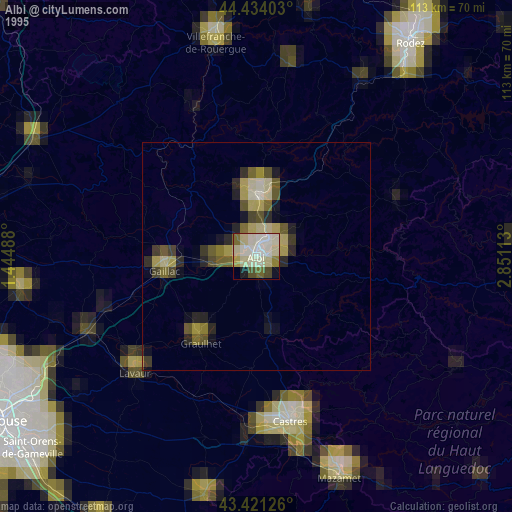
» NASA, Earths city lights 1995
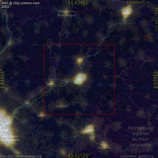
» NASA city lights 2003
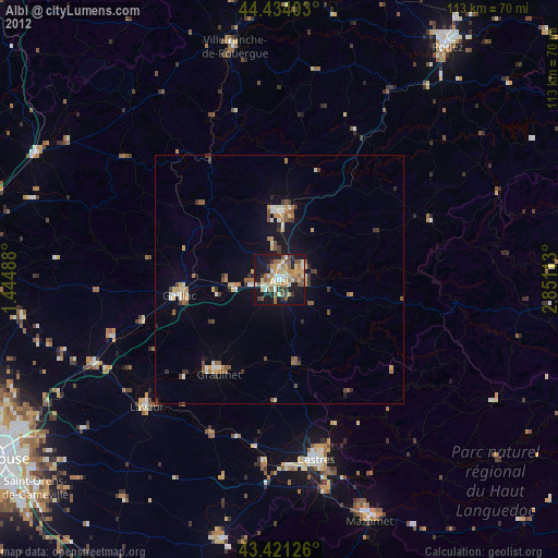
» Earth at Night: Flat Maps 2012, 2016