Werota night lights from space
Night Light of Werota (Amhara) from space (Ethiopia) Src. Average luminocity for 10x10km area is 0.5207% and for 50x50km: 0.0394%.

Analysis of Werota night lights 2016
Square area 10x10 km:
 0%
0%90-99
0%80-89
0%70-79
0%60-69
0%50-59
0%40-49
0%30-39
0.83%20-29
0.83%10-19
0%0-9
98.35%Square area 50x50 km:
0%90-99
0%80-89
0%70-79
0%60-69
0%50-59
0%40-49
0%30-39
0.03%20-29
0.1%10-19
0%0-9
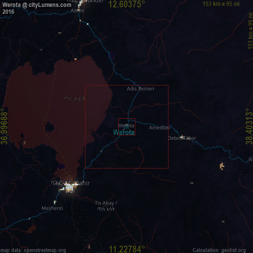
99.87%Clear (daylight) street map image can be seen on geolist.org.
Map coordinates:
12° 36' 13.5" North, 36° 59' 48.8" East
11° 55' 0" North, 37° 42' 0" East
11° 13' 40.2" North, 38° 24' 11.3" East
Some cities around Werota sort by population:
• Bahir Dar
49.2 km =30.6 mi,  223°
223°
• Gondar
80.1 km =49.8 mi,  341°
341°
• Debre Tabor
35.2 km =21.9 mi,  102°
102°
• Debark’
139.5 km =86.7 mi,  8°
8°
• Finote Selam
143.3 km =89 mi,  199°
199°
• Addiet Canna
76 km =47.2 mi, 198°
• Ādīs Zemen
24 km =14.9 mi,  22°
22°
• Dabat
118.9 km =73.9 mi,  3°
3°
326206 (p: 26,813)
Sources (retrieved 2019-11-25):
» Earth at Night: Flat Maps 2012, 2016