Debark’ night lights from space
Night Light of Debark’ (Amhara) from space (Ethiopia) Src. Average luminocity for 10x10km area is 0.474% and for 50x50km: 0.5791%.
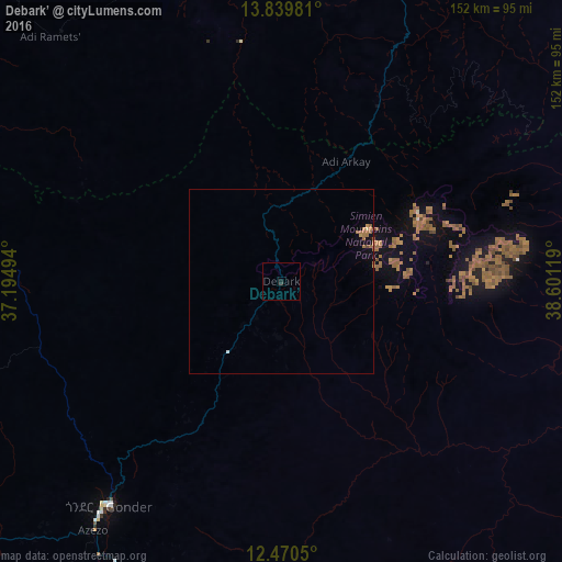
Analysis of Debark’ night lights 2016
Square area 10x10 km:
 0%
0%90-99
0%80-89
0%70-79
0%60-69
0%50-59
0%40-49
0%30-39
0.87%20-29
0%10-19
0.87%0-9
98.27%Square area 50x50 km:
0.02%90-99
0.02%80-89
0.03%70-79
0.13%60-69
0.25%50-59
0.12%40-49
0.03%30-39
0.03%20-29
0%10-19
0.26%0-9
99.11%Clear (daylight) street map image can be seen on geolist.org.
Map coordinates:
13° 50' 23.3" North, 37° 11' 41.8" East
13° 9' 22" North, 37° 53' 53" East
12° 28' 13.8" North, 38° 36' 4.3" East
Some cities around Debark’ sort by population:
• Mek'ele
174.8 km =108.6 mi,  77°
77°
• Gondar
77.5 km =48.2 mi,  217°
217°
• Inda Silasē
113.2 km =70.3 mi,  21°
21°
• Axum
139.5 km =86.7 mi,  39°
39°
• Debre Tabor
145.8 km =90.6 mi,  174°
174°
• Werota
139.5 km =86.7 mi,  188°
188°
• Ādīs Zemen
116.2 km =72.2 mi, 186°
• Dabat
23.9 km =14.9 mi, 217°
339823 (p: 24,700)
Sources (retrieved 2019-11-25):
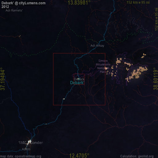
» Earth at Night: Flat Maps 2012, 2016