Dabat night lights from space
Night Light of Dabat (Amhara) from space (Ethiopia) Src. Average luminocity for 10x10km area is 0.9004% and for 50x50km: 0.054%.
Analysis of Dabat night lights 2016
Square area 10x10 km:
 0.43%
0.43%90-99
0.43%80-89
0%70-79
0%60-69
0%50-59
0%40-49
0%30-39
0%20-29
0%10-19
0%0-9
99.13%Square area 50x50 km:
0.02%90-99
0.02%80-89
0%70-79
0%60-69
0%50-59
0%40-49
0%30-39
0.03%20-29
0%10-19
0.03%0-9
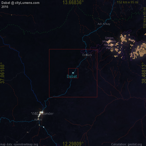
99.9%Clear (daylight) street map image can be seen on geolist.org.
Map coordinates:
13° 40' 6.1" North, 37° 3' 42.8" East
12° 59' 3" North, 37° 45' 54" East
12° 17' 53.1" North, 38° 28' 5.3" East
Some cities around Dabat sort by population:
• Bahir Dar
159.9 km =99.4 mi,  194°
194°
• Gondar
53.6 km =33.3 mi,  217°
217°
• Inda Silasē
136.4 km =84.8 mi,  24°
24°
• Axum
163.4 km =101.5 mi,  39°
39°
• Debre Tabor
129 km =80.2 mi,  167°
167°
• Werota
118.9 km =73.9 mi,  183°
183°
• Debark’
23.9 km =14.9 mi, 37°
• Ādīs Zemen
96.5 km =60 mi, 178°
340358 (p: 11,544)
Sources (retrieved 2019-11-25):
» Earth at Night: Flat Maps 2012, 2016