Addiet Canna night lights from space
Night Light of Addiet Canna (Amhara) from space (Ethiopia) Src. Average luminocity for 10x10km area is 0.5952% and for 50x50km: 0.0266%.

Analysis of Addiet Canna night lights 2016
Square area 10x10 km:
 0%
0%90-99
0%80-89
0%70-79
0%60-69
0%50-59
0%40-49
0%30-39
0.87%20-29
0.87%10-19
0%0-9
98.27%Square area 50x50 km:
0%90-99
0%80-89
0%70-79
0%60-69
0%50-59
0%40-49
0%30-39
0.03%20-29
0.03%10-19
0%0-9
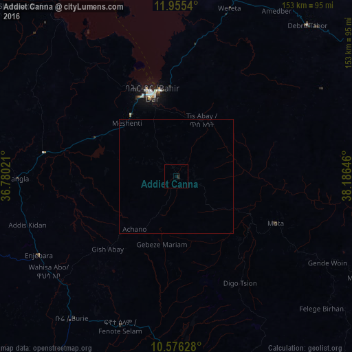
99.93%Clear (daylight) street map image can be seen on geolist.org.
Map coordinates:
11° 57' 19.4" North, 36° 46' 48.8" East
11° 16' 0" North, 37° 28' 60" East
10° 34' 34.6" North, 38° 11' 11.3" East
Some cities around Addiet Canna sort by population:
• Bahir Dar
37.7 km =23.4 mi,  344°
344°
• Debre Mark’os
105.5 km =65.6 mi,  165°
165°
• Debre Tabor
87.1 km =54.1 mi,  41°
41°
• Werota
76 km =47.2 mi,  18°
18°
• Finote Selam
67.3 km =41.8 mi,  200°
200°
• Ādīs Zemen
100 km =62.1 mi, 19°
• Burē
77.7 km =48.3 mi,  215°
215°
• Debre Werk’
100.1 km =62.2 mi,  131°
131°
345353 (p: 22,946)
Sources (retrieved 2019-11-25):
» Earth at Night: Flat Maps 2012, 2016