Gondar night lights from space
Night Light of Gondar (Amhara) from space (Ethiopia) Src. Average luminocity for 10x10km area is 18.4545% and for 50x50km: 0.9056%.
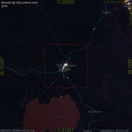

Analysis of Gondar night lights 2016
Square area 10x10 km:
 3.46%
3.46%90-99
4.55%80-89
3.25%70-79
0.87%60-69
0%50-59
0.87%40-49
1.73%30-39
2.6%20-29
3.46%10-19
4.11%0-9
75.11%Square area 50x50 km:
0.15%90-99
0.2%80-89
0.13%70-79
0.06%60-69
0.03%50-59
0.04%40-49
0.07%30-39
0.14%20-29
0.17%10-19
0.2%0-9
98.82%Clear (daylight) street map image can be seen on geolist.org.
Map coordinates:
13° 17' 6.9" North, 36° 45' 48.8" East
12° 36' 0" North, 37° 28' 0" East
11° 54' 46.5" North, 38° 10' 11.3" East
Some cities around Gondar sort by population:
• Bahir Dar
112.2 km =69.7 mi,  184°
184°
• Debre Tabor
102.6 km =63.8 mi,  144°
144°
• Werota
80.1 km =49.8 mi,  161°
161°
• Debark’
77.5 km =48.2 mi,  37°
37°
• Addiet Canna
148.3 km =92.1 mi, 179°
• Ādīs Zemen
63.8 km =39.6 mi,  147°
147°
• Dabat
53.6 km =33.3 mi, 37°
• Lalībela
183 km =113.7 mi,  110°
110°
336014 (p: 153,914)
Sources (retrieved 2019-11-25):
» NASA, Earths city lights 1995
» NASA city lights 2003
» Earth at Night: Flat Maps 2012, 2016