Debre Tabor night lights from space
Night Light of Debre Tabor (Amhara) from space (Ethiopia) Src. Average luminocity for 10x10km area is 3.3512% and for 50x50km: 0.3209%.
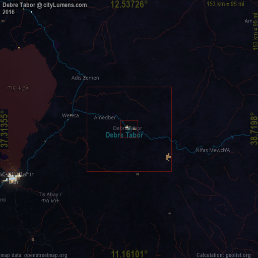
Analysis of Debre Tabor night lights 2016
Square area 10x10 km:
 0.62%
0.62%90-99
0.21%80-89
0%70-79
0%60-69
0%50-59
0.83%40-49
0%30-39
4.34%20-29
0.62%10-19
0.83%0-9
92.56%Square area 50x50 km:
0.03%90-99
0.01%80-89
0%70-79
0.02%60-69
0.16%50-59
0.13%40-49
0%30-39
0.18%20-29
0.03%10-19
0.03%0-9
99.43%Clear (daylight) street map image can be seen on geolist.org.
Map coordinates:
12° 32' 14.1" North, 37° 18' 48.8" East
11° 51' 0" North, 38° 1' 0" East
11° 9' 39.6" North, 38° 43' 11.3" East
Some cities around Debre Tabor sort by population:
• Bahir Dar
73.9 km =45.9 mi,  247°
247°
• Gondar
102.6 km =63.8 mi,  324°
324°
• Werota
35.2 km =21.9 mi,  282°
282°
• Debark’
145.8 km =90.6 mi,  354°
354°
• Addiet Canna
87.1 km =54.1 mi,  221°
221°
• Ādīs Zemen
39 km =24.2 mi, 319°
• Dabat
129 km =80.2 mi, 347°
• Lalībela
114 km =70.8 mi,  79°
79°
339686 (p: 32,659)
Sources (retrieved 2019-11-25):
» Earth at Night: Flat Maps 2012, 2016