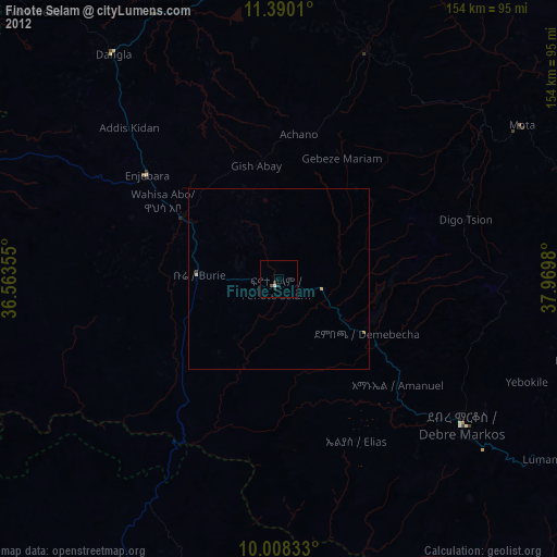
Finote Selam night lights from space
Night Light of Finote Selam (Amhara) from space (Ethiopia) Src. Average luminocity for 10x10km area is 0.7149% and for 50x50km: 0.0681%.
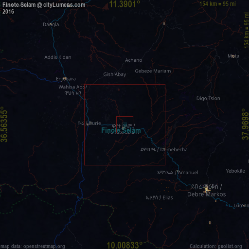
Analysis of Finote Selam night lights 2016
Square area 10x10 km:
 0%
0%90-99
0%80-89
0%70-79
0%60-69
0%50-59
0%40-49
0%30-39
0.83%20-29
1.03%10-19
0.62%0-9
97.52%Square area 50x50 km:
0%90-99
0%80-89
0%70-79
0%60-69
0%50-59
0%40-49
0.03%30-39
0.07%20-29
0.08%10-19
0.03%0-9
99.8%Clear (daylight) street map image can be seen on geolist.org.
Map coordinates:
11° 23' 24.4" North, 36° 33' 48.8" East
10° 42' 0" North, 37° 16' 0" East
10° 0' 30" North, 37° 58' 11.3" East
Some cities around Finote Selam sort by population:
• Bahir Dar
100.3 km =62.3 mi,  7°
7°
• Debre Mark’os
64.2 km =39.9 mi,  127°
127°
• Addiet Canna
67.3 km =41.8 mi,  20°
20°
• Burē
21.9 km =13.6 mi,  270°
270°
• Bichena
105.7 km =65.7 mi,  105°
105°
• Shambu
127.3 km =79.1 mi,  188°
188°
• Dejen
111.8 km =69.5 mi,  122°
122°
• Debre Werk’
98.4 km =61.1 mi,  92°
92°
337712 (p: 23,463)
Sources (retrieved 2019-11-25):
» Earth at Night: Flat Maps 2012, 2016