Ādīs Zemen night lights from space
Night Light of Ādīs Zemen (Amhara) from space (Ethiopia) Src. Average luminocity for 10x10km area is 0.2107% and for 50x50km: 0.0296%.
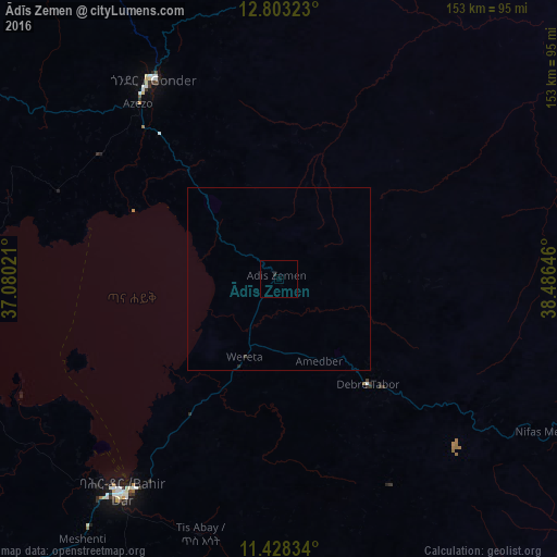
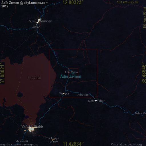
Analysis of Ādīs Zemen night lights 2016
Square area 10x10 km:
 0%
0%90-99
0%80-89
0%70-79
0%60-69
0%50-59
0%40-49
0%30-39
0%20-29
0.83%10-19
0%0-9
99.17%Square area 50x50 km:
0%90-99
0%80-89
0%70-79
0%60-69
0%50-59
0%40-49
0%30-39
0.03%20-29
0.07%10-19
0%0-9
99.9%Clear (daylight) street map image can be seen on geolist.org.
Map coordinates:
12° 48' 11.6" North, 37° 4' 48.8" East
12° 7' 0" North, 37° 46' 60" East
11° 25' 42" North, 38° 29' 11.3" East
Some cities around Ādīs Zemen sort by population:
• Bahir Dar
72.2 km =44.9 mi,  216°
216°
• Gondar
63.8 km =39.6 mi,  327°
327°
• Debre Tabor
39 km =24.2 mi,  139°
139°
• Werota
24 km =14.9 mi,  202°
202°
• Debark’
116.2 km =72.2 mi,  6°
6°
• Addiet Canna
100 km =62.1 mi, 199°
• Dabat
96.5 km =60 mi,  358°
358°
• Lalībela
137.8 km =85.6 mi,  93°
93°
344923 (p: 22,522)
Sources (retrieved 2019-11-25):
» Earth at Night: Flat Maps 2012, 2016