Bahir Dar night lights from space
Night Light of Bahir Dar (Amhara) from space (Ethiopia) Src. Average luminocity for 10x10km area is 32.5087% and for 50x50km: 1.6318%.
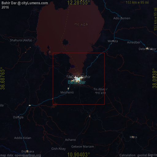
Analysis of Bahir Dar night lights 2016
Square area 10x10 km:
 6.71%
6.71%90-99
10.17%80-89
3.03%70-79
2.6%60-69
1.3%50-59
0.43%40-49
1.73%30-39
6.06%20-29
5.84%10-19
36.58%0-9
25.54%Square area 50x50 km:
0.26%90-99
0.41%80-89
0.17%70-79
0.1%60-69
0.09%50-59
0.04%40-49
0.07%30-39
0.25%20-29
0.38%10-19
1.68%0-9
96.56%Clear (daylight) street map image can be seen on geolist.org.
Map coordinates:
12° 16' 53.6" North, 36° 41' 15.5" East
11° 35' 37.1" North, 37° 23' 26.8" East
10° 54' 14.5" North, 38° 5' 38" East
Some cities around Bahir Dar sort by population:
• Gondar
112.2 km =69.7 mi,  4°
4°
• Debre Tabor
73.9 km =45.9 mi,  67°
67°
• Werota
49.2 km =30.6 mi,  43°
43°
• Finote Selam
100.3 km =62.3 mi,  187°
187°
• Addiet Canna
37.7 km =23.4 mi,  164°
164°
• Ādīs Zemen
72.2 km =44.9 mi, 36°
• Burē
105.5 km =65.6 mi,  199°
199°
• Debre Werk’
133.4 km =82.9 mi,  140°
140°
342884 (p: 168,899)
Sources (retrieved 2019-11-25):
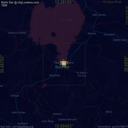
» NASA, Earths city lights 1995
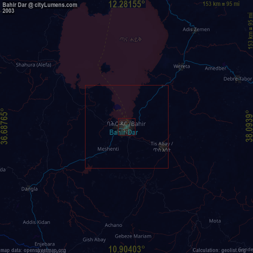
» NASA city lights 2003
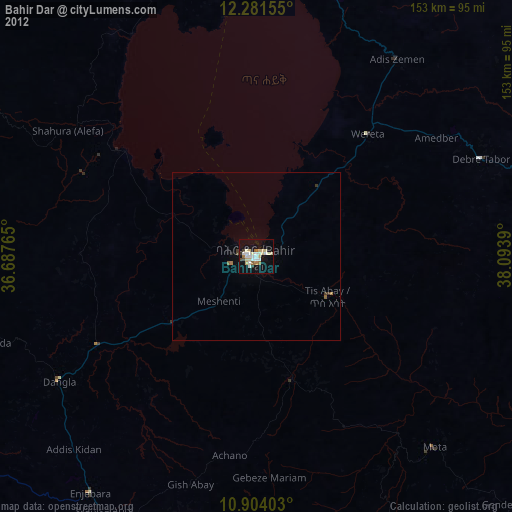
» Earth at Night: Flat Maps 2012, 2016