Mek'ele night lights from space
Night Light of Mek'ele (Tigray) from space (Ethiopia) Src. Average luminocity for 10x10km area is 40.6798% and for 50x50km: 2.3963%.
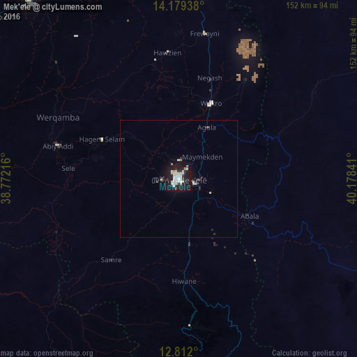
Analysis of Mek'ele night lights 2016
Square area 10x10 km:
 12.4%
12.4%90-99
14.46%80-89
0.83%70-79
1.65%60-69
0%50-59
0.83%40-49
0.41%30-39
3.72%20-29
13.02%10-19
46.49%0-9
6.2%Square area 50x50 km:
0.57%90-99
0.69%80-89
0.03%70-79
0.17%60-69
0%50-59
0.07%40-49
0.02%30-39
0.31%20-29
0.73%10-19
2.85%0-9
94.57%Clear (daylight) street map image can be seen on geolist.org.
Map coordinates:
14° 10' 45.8" North, 38° 46' 19.8" East
13° 29' 48" North, 39° 28' 31" East
12° 48' 43.2" North, 40° 10' 42.3" East
Some cities around Mek'ele sort by population:
• Ādīgrat
86.8 km =53.9 mi,  359°
359°
• Inda Silasē
145.3 km =90.3 mi,  297°
297°
• Axum
106.8 km =66.4 mi,  310°
310°
• Korem
110.3 km =68.5 mi,  177°
177°
• Maych’ew
79.2 km =49.2 mi,  174°
174°
• Robīt
165.5 km =102.8 mi, 174°
• Adi Keyh, ER
150.2 km =93.3 mi, 355°
• Lalībela
169.3 km =105.2 mi,  195°
195°
331180 (p: 215,546)
Sources (retrieved 2019-11-25):
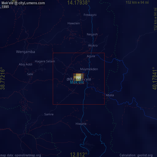
» NASA, Earths city lights 1995
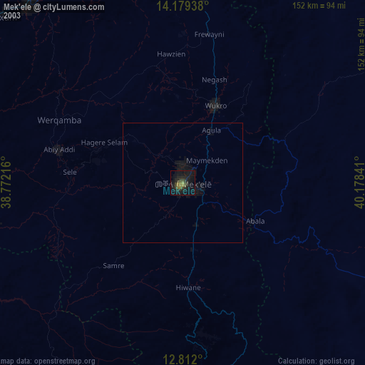
» NASA city lights 2003
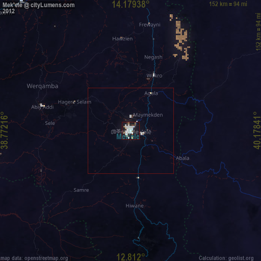
» Earth at Night: Flat Maps 2012, 2016