Korem night lights from space
Night Light of Korem (Tigray) from space (Ethiopia) Src. Average luminocity for 10x10km area is 1.9156% and for 50x50km: 0.147%.
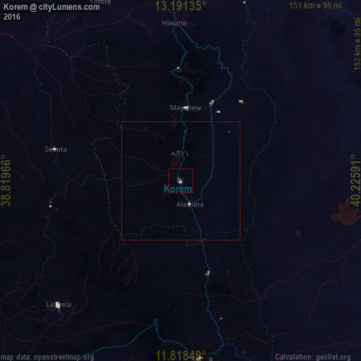

Analysis of Korem night lights 2016
Square area 10x10 km:
 0%
0%90-99
0.87%80-89
0%70-79
0%60-69
0%50-59
0%40-49
0%30-39
1.52%20-29
1.95%10-19
0%0-9
95.67%Square area 50x50 km:
0.02%90-99
0.05%80-89
0%70-79
0%60-69
0%50-59
0%40-49
0%30-39
0.06%20-29
0.2%10-19
0.03%0-9
99.64%Clear (daylight) street map image can be seen on geolist.org.
Map coordinates:
13° 11' 28.9" North, 38° 49' 10.8" East
12° 30' 21" North, 39° 31' 22" East
11° 49' 6.6" North, 40° 13' 33.3" East
Some cities around Korem sort by population:
• Mek'ele
110.3 km =68.5 mi,  357°
357°
• Desē
153.1 km =95.1 mi,  175°
175°
• Kombolcha
160.2 km =99.5 mi,  171°
171°
• Debre Tabor
179.2 km =111.3 mi,  245°
245°
• Maych’ew
31.4 km =19.5 mi,  3°
3°
• Robīt
55.7 km =34.6 mi, 167°
• Batī
155.7 km =96.7 mi,  159°
159°
• Lalībela
73.8 km =45.9 mi,  224°
224°
332746 (p: 30,633)
Sources (retrieved 2019-11-25):
» Earth at Night: Flat Maps 2012, 2016