Robīt night lights from space
Night Light of Robīt (Amhara) from space (Ethiopia) Src. Average luminocity for 10x10km area is 0% and for 50x50km: 0.2207%.
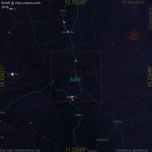
Analysis of Robīt night lights 2016
Square area 10x10 km:
100  0%
0%
90-99 0%
80-89 0%
70-79 0%
60-69 0%
50-59 0%
40-49 0%
30-39 0%
20-29 0%
10-19 0%
0-9 100%
0%90-99
0%80-89
0%70-79
0%60-69
0%50-59
0%40-49
0%30-39
0%20-29
0%10-19
0%0-9
100%Square area 50x50 km:
100 0%
90-99 0.03%
80-89 0%
70-79 0%
60-69 0.04%
50-59 0.03%
40-49 0.1%
30-39 0.14%
20-29 0.11%
10-19 0.05%
0-9 99.49%
0%90-99
0.03%80-89
0%70-79
0%60-69
0.04%50-59
0.03%40-49
0.1%30-39
0.14%20-29
0.11%10-19
0.05%0-9
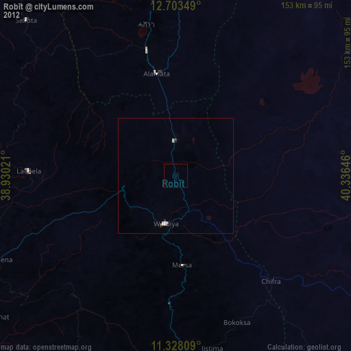
99.49%Clear (daylight) street map image can be seen on geolist.org.
Map coordinates:
12° 42' 12.6" North, 38° 55' 48.8" East
12° 1' 0" North, 39° 37' 60" East
11° 19' 41.1" North, 40° 20' 11.3" East
Some cities around Robīt sort by population:
• Desē
98.2 km =61 mi,  180°
180°
• Kombolcha
104.7 km =65.1 mi,  173°
173°
• Korem
55.7 km =34.6 mi,  347°
347°
• Maych’ew
86.3 km =53.6 mi, 353°
• Kemisē
146.8 km =91.2 mi, 169°
• Batī
100.8 km =62.6 mi,  155°
155°
• Lalībela
63.7 km =39.6 mi,  271°
271°
• Semera
151.4 km =94.1 mi,  99°
99°
329586 (p: 20,679)
Sources (retrieved 2019-11-25):
» Earth at Night: Flat Maps 2012, 2016