Inda Silasē night lights from space
Night Light of Inda Silasē (Tigray) from space (Ethiopia) Src. Average luminocity for 10x10km area is 7.0065% and for 50x50km: 0.3732%.
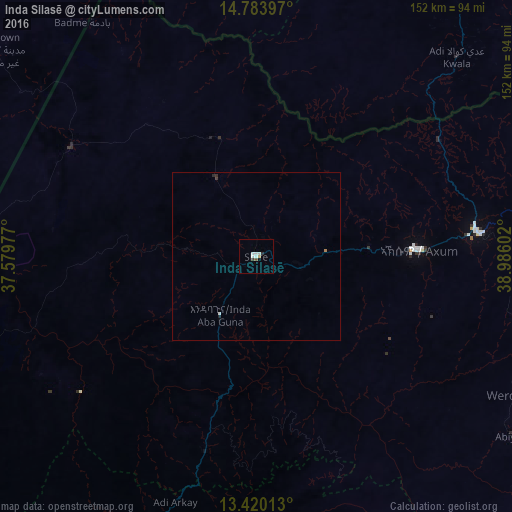

Analysis of Inda Silasē night lights 2016
Square area 10x10 km:
 1.73%
1.73%90-99
2.6%80-89
0%70-79
0%60-69
0.87%50-59
0%40-49
0.87%30-39
0.87%20-29
0.87%10-19
0%0-9
92.21%Square area 50x50 km:
0.08%90-99
0.12%80-89
0%70-79
0%60-69
0.07%50-59
0%40-49
0.03%30-39
0.08%20-29
0.12%10-19
0%0-9
99.5%Clear (daylight) street map image can be seen on geolist.org.
Map coordinates:
14° 47' 2.3" North, 37° 34' 47.2" East
14° 6' 11.1" North, 38° 16' 58.4" East
13° 25' 12.5" North, 38° 59' 9.7" East
Some cities around Inda Silasē sort by population:
• Ādīgrat
128.6 km =79.9 mi,  81°
81°
• Axum
47.5 km =29.5 mi,  87°
87°
• Debark’
113.2 km =70.3 mi,  201°
201°
• Mendefera, ER
104.3 km =64.8 mi,  33°
33°
• Barentu, ER
134.1 km =83.3 mi,  326°
326°
• Adi Keyh, ER
143.8 km =89.4 mi,  55°
55°
• Dabat
136.4 km =84.8 mi, 204°
• Dek’emhāre, ER
135.4 km =84.1 mi,  37°
37°
334227 (p: 50,078)
Sources (retrieved 2019-11-25):
» NASA, Earths city lights 1995
» NASA city lights 2003
» Earth at Night: Flat Maps 2012, 2016