Axum night lights from space
Night Light of Axum (Tigray) from space (Ethiopia) Src. Average luminocity for 10x10km area is 14.8312% and for 50x50km: 1.2366%.
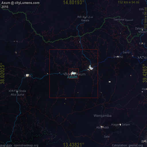
Analysis of Axum night lights 2016
Square area 10x10 km:
 5.63%
5.63%90-99
3.03%80-89
0.87%70-79
0%60-69
0.87%50-59
0%40-49
0%30-39
2.81%20-29
1.52%10-19
1.52%0-9
83.77%Square area 50x50 km:
0.4%90-99
0.23%80-89
0.1%70-79
0.03%60-69
0.05%50-59
0.02%40-49
0%30-39
0.22%20-29
0.15%10-19
0.11%0-9
98.69%Clear (daylight) street map image can be seen on geolist.org.
Map coordinates:
14° 48' 6.9" North, 38° 1' 12.9" East
14° 7' 15.9" North, 38° 43' 24.1" East
13° 26' 17.6" North, 39° 25' 35.4" East
Some cities around Axum sort by population:
• Asmara, ER
137.2 km =85.3 mi,  9°
9°
• Mek'ele
106.8 km =66.4 mi,  130°
130°
• Ādīgrat
81.5 km =50.6 mi,  77°
77°
• Inda Silasē
47.5 km =29.5 mi,  267°
267°
• Debark’
139.5 km =86.7 mi,  219°
219°
• Mendefera, ER
85.8 km =53.3 mi, 6°
• Adi Keyh, ER
106.9 km =66.4 mi,  41°
41°
• Dek’emhāre, ER
111.1 km =69 mi,  18°
18°
344420 (p: 41,249)
Sources (retrieved 2019-11-25):
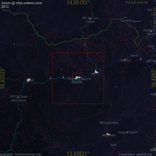
» Earth at Night: Flat Maps 2012, 2016