Maych’ew night lights from space
Night Light of Maych’ew (Tigray) from space (Ethiopia) Src. Average luminocity for 10x10km area is 2.4372% and for 50x50km: 0.3385%.
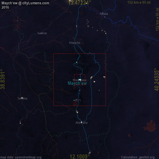
Analysis of Maych’ew night lights 2016
Square area 10x10 km:
 0.87%
0.87%90-99
0.87%80-89
0%70-79
0%60-69
0%50-59
0%40-49
0.65%30-39
0.22%20-29
0.87%10-19
0%0-9
96.54%Square area 50x50 km:
0.06%90-99
0.04%80-89
0.1%70-79
0%60-69
0.07%50-59
0%40-49
0.03%30-39
0.04%20-29
0.19%10-19
0.02%0-9
99.46%Clear (daylight) street map image can be seen on geolist.org.
Map coordinates:
13° 28' 20.1" North, 38° 50' 20.8" East
12° 47' 15" North, 39° 32' 32" East
12° 6' 3.2" North, 40° 14' 43.3" East
Some cities around Maych’ew sort by population:
• Mek'ele
79.2 km =49.2 mi,  354°
354°
• Desē
184.2 km =114.5 mi,  176°
176°
• Ādīgrat
165.8 km =103 mi,  357°
357°
• Axum
172.7 km =107.3 mi,  329°
329°
• Korem
31.4 km =19.5 mi, 183°
• Debark’
182.8 km =113.6 mi,  282°
282°
• Robīt
86.3 km =53.6 mi,  173°
173°
• Lalībela
99.7 km =62 mi,  212°
212°
331416 (p: 27,186)
Sources (retrieved 2019-11-25):
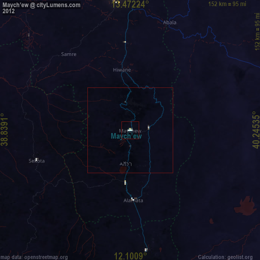
» Earth at Night: Flat Maps 2012, 2016