Lalībela night lights from space
Night Light of Lalībela (Amhara) from space (Ethiopia) Src. Average luminocity for 10x10km area is 5.2831% and for 50x50km: 0.2168%.
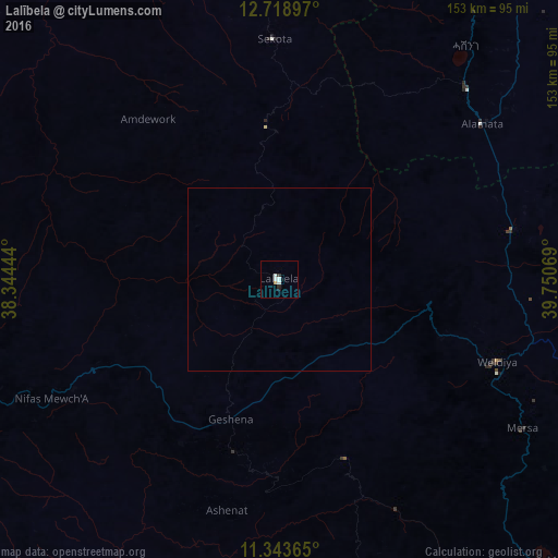
Analysis of Lalībela night lights 2016
Square area 10x10 km:
 1.03%
1.03%90-99
2.27%80-89
0%70-79
0.83%60-69
0%50-59
0%40-49
0%30-39
0.62%20-29
1.24%10-19
0.62%0-9
93.39%Square area 50x50 km:
0.04%90-99
0.09%80-89
0%70-79
0.03%60-69
0%50-59
0%40-49
0%30-39
0.03%20-29
0.05%10-19
0.03%0-9
99.73%Clear (daylight) street map image can be seen on geolist.org.
Map coordinates:
12° 43' 8.3" North, 38° 20' 40" East
12° 1' 55.9" North, 39° 2' 51.2" East
11° 20' 37.1" North, 39° 45' 2.5" East
Some cities around Lalībela sort by population:
• Desē
118.6 km =73.7 mi,  147°
147°
• Kombolcha
130.1 km =80.8 mi,  144°
144°
• Debre Tabor
114 km =70.8 mi,  259°
259°
• Korem
73.8 km =45.9 mi,  44°
44°
• Maych’ew
99.7 km =62 mi,  32°
32°
• Ādīs Zemen
137.8 km =85.6 mi,  273°
273°
• Robīt
63.7 km =39.6 mi,  91°
91°
• Batī
141 km =87.6 mi,  131°
131°
332288 (p: 11,152)
Sources (retrieved 2019-11-25):
» Earth at Night: Flat Maps 2012, 2016