Adi Keyh night lights from space
Night Light of Adi Keyh (Debub) from space (Eritrea) Src. Average luminocity for 10x10km area is 0% and for 50x50km: 0%.
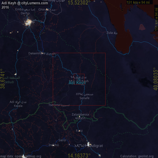
Analysis of Adi Keyh night lights 2016
Square area 10x10 km:
 0%
0%90-99
0%80-89
0%70-79
0%60-69
0%50-59
0%40-49
0%30-39
0%20-29
0%10-19
0%0-9
100%Square area 50x50 km:
0%90-99
0%80-89
0%70-79
0%60-69
0%50-59
0%40-49
0%30-39
0%20-29
0%10-19
0%0-9
100%Clear (daylight) street map image can be seen on geolist.org.
Map coordinates:
15° 31' 22.9" North, 38° 40' 26.8" East
14° 50' 40" North, 39° 22' 38" East
14° 9' 49.4" North, 40° 4' 49.3" East
Some cities around Adi Keyh sort by population:
• Asmara
72.8 km =45.2 mi,  318°
318°
• Keren
143.7 km =89.3 mi, 316°
• Ādīgrat, ET
63.7 km =39.6 mi,  171°
171°
• Inda Silasē, ET
143.8 km =89.4 mi,  235°
235°
• Axum, ET
106.9 km =66.4 mi,  221°
221°
• Massawa
85.6 km =53.2 mi,  7°
7°
• Mendefera
60.6 km =37.7 mi,  274°
274°
• Dek’emhāre
43.4 km =27 mi,  305°
305°
345046 (p: 13,061)
Sources (retrieved 2019-11-25):
» Earth at Night: Flat Maps 2012, 2016