Ādīgrat night lights from space
Night Light of Ādīgrat (Tigray) from space (Ethiopia) Src. Average luminocity for 10x10km area is 10.2706% and for 50x50km: 0.5774%.
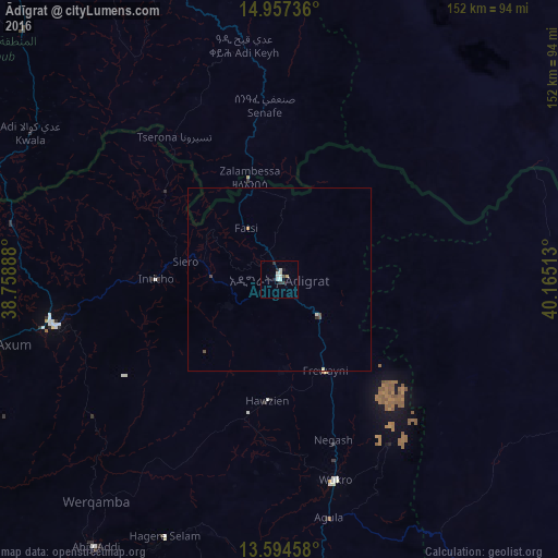
Analysis of Ādīgrat night lights 2016
Square area 10x10 km:
 0.87%
0.87%90-99
4.33%80-89
1.73%70-79
0%60-69
0%50-59
0%40-49
0.87%30-39
1.73%20-29
2.6%10-19
1.52%0-9
86.36%Square area 50x50 km:
0.03%90-99
0.2%80-89
0.1%70-79
0.03%60-69
0%50-59
0%40-49
0.17%30-39
0.08%20-29
0.12%10-19
0.06%0-9
99.21%Clear (daylight) street map image can be seen on geolist.org.
Map coordinates:
14° 57' 26.5" North, 38° 45' 32" East
14° 16' 37.2" North, 39° 27' 43.2" East
13° 35' 40.5" North, 40° 9' 54.5" East
Some cities around Ādīgrat sort by population:
• Asmara, ER
131 km =81.4 mi,  334°
334°
• Mek'ele
86.8 km =53.9 mi,  179°
179°
• Inda Silasē
128.6 km =79.9 mi,  261°
261°
• Axum
81.5 km =50.6 mi, 257°
• Massawa, ER
148 km =92 mi,  0°
0°
• Mendefera, ER
97.2 km =60.4 mi,  314°
314°
• Adi Keyh, ER
63.7 km =39.6 mi,  351°
351°
• Dek’emhāre, ER
98.8 km =61.4 mi, 333°
345149 (p: 65,000)
Sources (retrieved 2019-11-25):
» NASA, Earths city lights 1995
» NASA city lights 2003
» Earth at Night: Flat Maps 2012, 2016