Desē night lights from space
Night Light of Desē (Amhara) from space (Ethiopia) Src. Average luminocity for 10x10km area is 10.3095% and for 50x50km: 1.1811%.
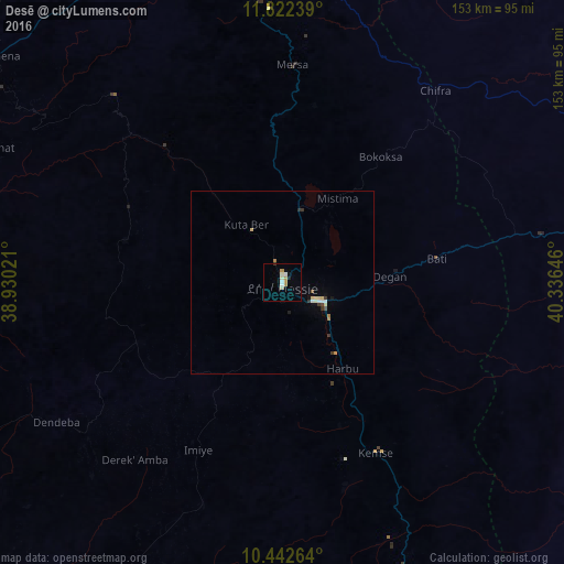
Analysis of Desē night lights 2016
Square area 10x10 km:
 1.52%
1.52%90-99
3.25%80-89
0.43%70-79
2.81%60-69
0.65%50-59
0%40-49
0%30-39
0.43%20-29
0.87%10-19
0.22%0-9
89.83%Square area 50x50 km:
0.1%90-99
0.25%80-89
0.23%70-79
0.15%60-69
0.12%50-59
0.02%40-49
0.06%30-39
0.3%20-29
0.08%10-19
0.11%0-9
98.58%Clear (daylight) street map image can be seen on geolist.org.
Map coordinates:
11° 49' 20.6" North, 38° 55' 48.8" East
11° 7' 60" North, 39° 37' 60" East
10° 26' 33.5" North, 40° 20' 11.3" East
Some cities around Desē sort by population:
• Kombolcha
13.3 km =8.3 mi,  115°
115°
• Kemisē
53 km =32.9 mi,  150°
150°
• Robīt
98.2 km =61 mi,  0°
0°
• Batī
42.3 km =26.3 mi,  81°
81°
• Abomsa
133.5 km =83 mi,  163°
163°
• Lalībela
118.6 km =73.7 mi,  327°
327°
• Debre Sīna
143.6 km =89.2 mi,  174°
174°
• Were Īlu
64.1 km =39.8 mi,  199°
199°
339219 (p: 136,056)
Sources (retrieved 2019-11-25):
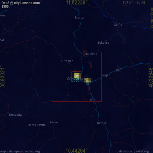
» NASA, Earths city lights 1995
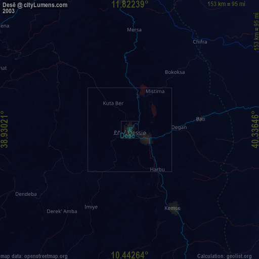
» NASA city lights 2003
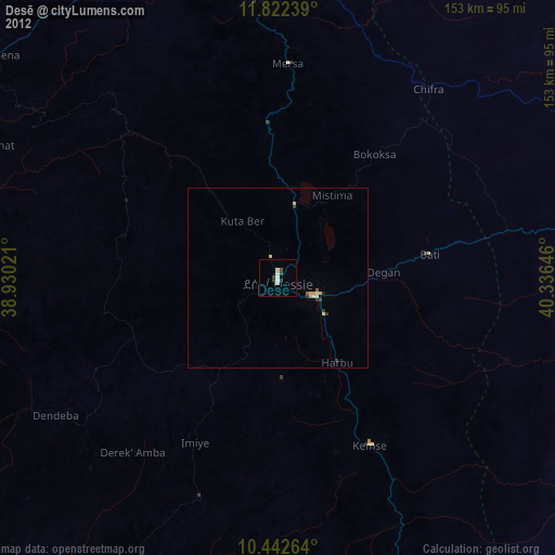
» Earth at Night: Flat Maps 2012, 2016