Dek’emhāre night lights from space
Night Light of Dek’emhāre (Debub) from space (Eritrea) Src. Average luminocity for 10x10km area is 1.1591% and for 50x50km: 0.1904%.
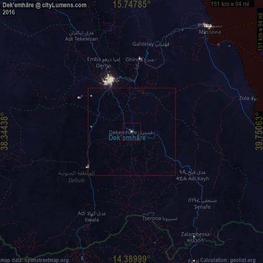
Analysis of Dek’emhāre night lights 2016
Square area 10x10 km:
 0%
0%90-99
0%80-89
0%70-79
0.21%60-69
0.62%50-59
0%40-49
0%30-39
0.83%20-29
0.83%10-19
0.21%0-9
97.31%Square area 50x50 km:
0%90-99
0.02%80-89
0.03%70-79
0.01%60-69
0.07%50-59
0%40-49
0%30-39
0.03%20-29
0.05%10-19
0.02%0-9
99.76%Clear (daylight) street map image can be seen on geolist.org.
Map coordinates:
15° 44' 52.3" North, 38° 20' 39.8" East
15° 4' 12" North, 39° 2' 51" East
14° 23' 24" North, 39° 45' 2.3" East
Some cities around Dek’emhāre sort by population:
• Asmara
32.3 km =20.1 mi,  337°
337°
• Keren
101.4 km =63 mi,  320°
320°
• Ādīgrat, ET
98.8 km =61.4 mi,  153°
153°
• Inda Silasē, ET
135.4 km =84.1 mi,  217°
217°
• Axum, ET
111.1 km =69 mi,  198°
198°
• Massawa
75.3 km =46.8 mi,  37°
37°
• Mendefera
32.2 km =20 mi,  230°
230°
• Adi Keyh
43.4 km =27 mi,  125°
125°
339537 (p: 10,959)
Sources (retrieved 2019-11-25):
» Earth at Night: Flat Maps 2012, 2016