Mendefera night lights from space
Night Light of Mendefera (Debub) from space (Eritrea) Src. Average luminocity for 10x10km area is 2.093% and for 50x50km: 0.1319%.
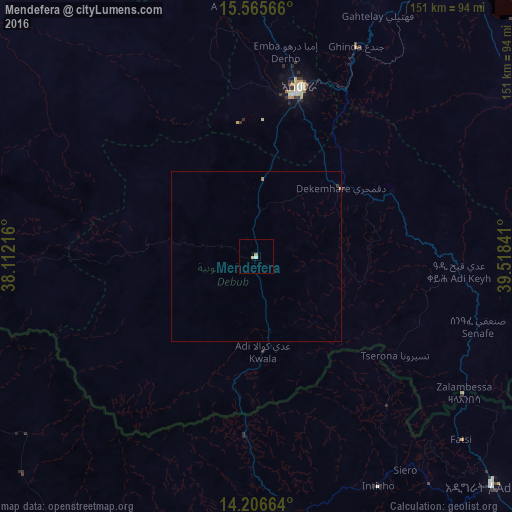
Analysis of Mendefera night lights 2016
Square area 10x10 km:
 0%
0%90-99
0.83%80-89
0.83%70-79
0%60-69
0.83%50-59
0%40-49
0%30-39
0%20-29
0%10-19
0%0-9
97.52%Square area 50x50 km:
0%90-99
0.03%80-89
0.03%70-79
0%60-69
0.08%50-59
0%40-49
0%30-39
0.03%20-29
0%10-19
0%0-9
99.82%Clear (daylight) street map image can be seen on geolist.org.
Map coordinates:
15° 33' 56.4" North, 38° 6' 43.8" East
14° 53' 14" North, 38° 48' 55" East
14° 12' 23.9" North, 39° 31' 6.3" East
Some cities around Mendefera sort by population:
• Asmara
51.7 km =32.1 mi,  14°
14°
• Keren
106.5 km =66.2 mi,  338°
338°
• Ādīgrat, ET
97.2 km =60.4 mi,  134°
134°
• Inda Silasē, ET
104.3 km =64.8 mi,  213°
213°
• Axum, ET
85.8 km =53.3 mi,  186°
186°
• Massawa
106.9 km =66.4 mi,  41°
41°
• Adi Keyh
60.6 km =37.7 mi,  94°
94°
• Dek’emhāre
32.2 km =20 mi,  50°
50°
344901 (p: 17,781)
Sources (retrieved 2019-11-25):
» Earth at Night: Flat Maps 2012, 2016