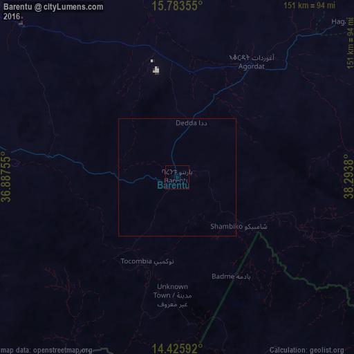
Barentu night lights from space
Night Light of Barentu (Gash-Barka) from space (Eritrea) Src. Average luminocity for 10x10km area is 0% and for 50x50km: 0%.
Analysis of Barentu night lights 2016
Square area 10x10 km:
 0%
0%90-99
0%80-89
0%70-79
0%60-69
0%50-59
0%40-49
0%30-39
0%20-29
0%10-19
0%0-9
100%Square area 50x50 km:
0%90-99
0%80-89
0%70-79
0%60-69
0%50-59
0%40-49
0%30-39
0%20-29
0%10-19
0%0-9
100%Clear (daylight) street map image can be seen on geolist.org.
Map coordinates:
15° 47' 0.8" North, 36° 53' 15.2" East
15° 6' 21" North, 37° 35' 26.4" East
14° 25' 33.3" North, 38° 17' 37.7" East
Some cities around Barentu sort by population:
• Asmara
146.2 km =90.8 mi,  79°
79°
• Kassala, SD
133.4 km =82.9 mi,  286°
286°
• Keren
118.7 km =73.8 mi,  50°
50°
• Inda Silasē, ET
134.1 km =83.3 mi,  146°
146°
• Axum, ET
163.8 km =101.8 mi,  131°
131°
• Mendefera
133.8 km =83.1 mi,  100°
100°
• Dek’emhāre
156.5 km =97.2 mi,  91°
91°
• Ak’ordat
58.3 km =36.2 mi,  32°
32°
342711 (p: 15,891)
Sources (retrieved 2019-11-25):
» Earth at Night: Flat Maps 2012, 2016