Hīrna night lights from space
Night Light of Hīrna (Oromiya) from space (Ethiopia) Src. Average luminocity for 10x10km area is 0.3896% and for 50x50km: 0.0278%.
Analysis of Hīrna night lights 2016
Square area 10x10 km:
 0%
0%90-99
0%80-89
0%70-79
0%60-69
0%50-59
0%40-49
0.87%30-39
0%20-29
0%10-19
0%0-9
99.13%Square area 50x50 km:
0%90-99
0%80-89
0%70-79
0%60-69
0%50-59
0%40-49
0.03%30-39
0%20-29
0.03%10-19
0.01%0-9
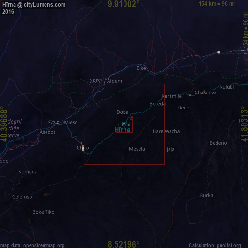
99.93%Clear (daylight) street map image can be seen on geolist.org.
Map coordinates:
9° 54' 36.1" North, 40° 23' 48.8" East
9° 13' 0" North, 41° 6' 0" East
8° 31' 19.1" North, 41° 48' 11.3" East
Some cities around Hīrna sort by population:
• Dire Dawa
93.9 km =58.3 mi,  63°
63°
• Harar
112.3 km =69.8 mi,  84°
84°
• Āsbe Teferī
29.4 km =18.3 mi,  240°
240°
• Bedēsa
49.5 km =30.8 mi,  224°
224°
• Gelemso
78 km =48.5 mi, 235°
• Āwash
105.7 km =65.7 mi,  255°
255°
• Gewanē
116.7 km =72.5 mi,  334°
334°
• Deder
39.1 km =24.3 mi,  74°
74°
334700 (p: 12,295)
Sources (retrieved 2019-11-25):
» Earth at Night: Flat Maps 2012, 2016