Harar night lights from space
Night Light of Harar (Harari) from space (Ethiopia) Src. Average luminocity for 10x10km area is 11.4307% and for 50x50km: 0.7834%.
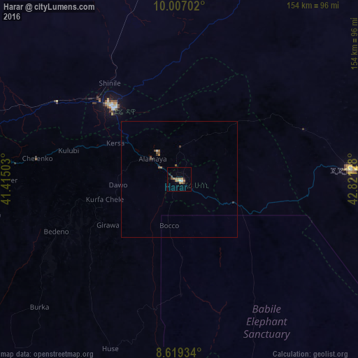
Analysis of Harar night lights 2016
Square area 10x10 km:
 1.3%
1.3%90-99
0.43%80-89
0%70-79
4.11%60-69
4.55%50-59
0%40-49
2.16%30-39
0.43%20-29
1.73%10-19
0%0-9
85.28%Square area 50x50 km:
0.07%90-99
0.03%80-89
0%70-79
0.17%60-69
0.27%50-59
0.1%40-49
0.2%30-39
0.1%20-29
0.14%10-19
0.04%0-9
98.87%Clear (daylight) street map image can be seen on geolist.org.
Map coordinates:
10° 0' 25.3" North, 41° 24' 54.1" East
9° 18' 49.9" North, 42° 7' 5.3" East
8° 37' 9.6" North, 42° 49' 16.6" East
Some cities around Harar sort by population:
• Dire Dawa
41.6 km =25.8 mi,  318°
318°
• Jijiga
74.9 km =46.5 mi,  86°
86°
• Āsbe Teferī
139.6 km =86.7 mi,  259°
259°
• Baki, SO
153.1 km =95.1 mi,  65°
65°
• Bedēsa
153.6 km =95.4 mi,  252°
252°
• Gelemso
184.3 km =114.5 mi, 252°
• Hīrna
112.3 km =69.8 mi, 264°
• Deder
74.1 km =46 mi,  269°
269°
335035 (p: 90,218)
Sources (retrieved 2019-11-25):
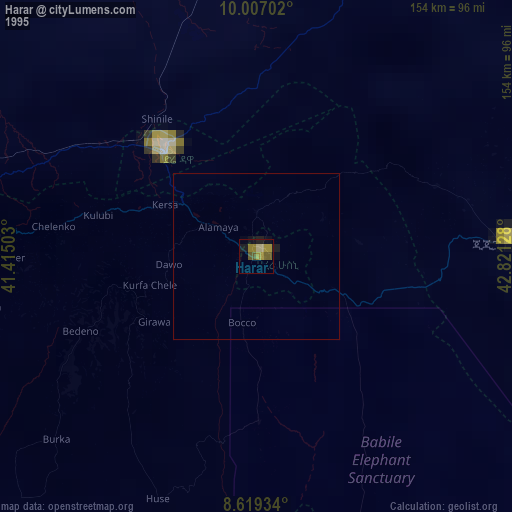
» NASA, Earths city lights 1995
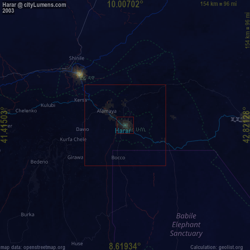
» NASA city lights 2003
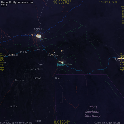
» Earth at Night: Flat Maps 2012, 2016