Dire Dawa night lights from space
Night Light of Dire Dawa from space (Ethiopia) Src. Average luminocity for 10x10km area is 26.6385% and for 50x50km: 1.554%.
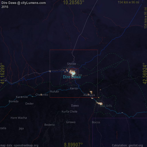
Analysis of Dire Dawa night lights 2016
Square area 10x10 km:
 2.38%
2.38%90-99
5.19%80-89
3.9%70-79
5.84%60-69
0.22%50-59
3.25%40-49
6.28%30-39
2.81%20-29
3.25%10-19
21.21%0-9
45.67%Square area 50x50 km:
0.11%90-99
0.24%80-89
0.17%70-79
0.24%60-69
0.1%50-59
0.18%40-49
0.37%30-39
0.31%20-29
0.23%10-19
0.93%0-9
97.12%Clear (daylight) street map image can be seen on geolist.org.
Map coordinates:
10° 17' 8.3" North, 41° 9' 46.8" East
9° 35' 35" North, 41° 51' 58" East
8° 53' 56.7" North, 42° 34' 9.3" East
Some cities around Dire Dawa sort by population:
• Harar
41.6 km =25.8 mi,  138°
138°
• Jijiga
105.9 km =65.8 mi,  104°
104°
• Āsbe Teferī
123.3 km =76.6 mi,  242°
242°
• Baki, SO
169.8 km =105.5 mi,  78°
78°
• Bedēsa
141.6 km =88 mi, 237°
• Hīrna
93.9 km =58.3 mi, 243°
• Gewanē
148 km =92 mi,  295°
295°
• Deder
56 km =34.8 mi, 236°
338832 (p: 252,279)
Sources (retrieved 2019-11-25):
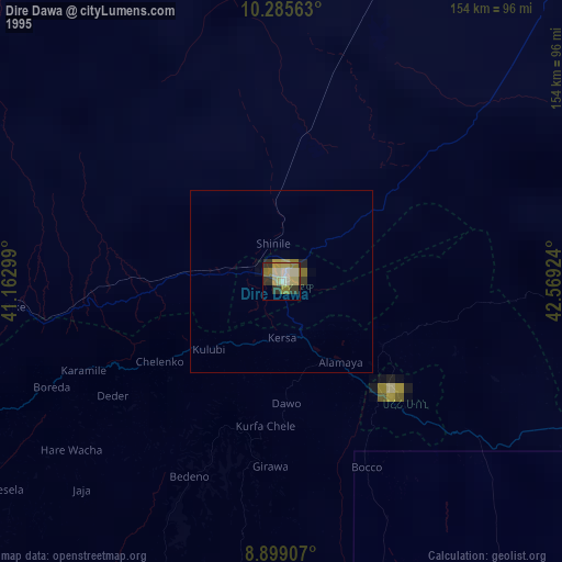
» NASA, Earths city lights 1995
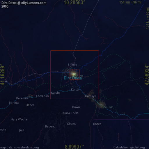
» NASA city lights 2003
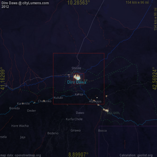
» Earth at Night: Flat Maps 2012, 2016