Gewanē night lights from space
Night Light of Gewanē (Āfar) from space (Ethiopia) Src. Average luminocity for 10x10km area is 0% and for 50x50km: 0%.
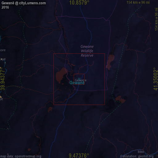
Analysis of Gewanē night lights 2016
Square area 10x10 km:
 0%
0%90-99
0%80-89
0%70-79
0%60-69
0%50-59
0%40-49
0%30-39
0%20-29
0%10-19
0%0-9
100%Square area 50x50 km:
0%90-99
0%80-89
0%70-79
0%60-69
0%50-59
0%40-49
0%30-39
0%20-29
0%10-19
0%0-9
100%Clear (daylight) street map image can be seen on geolist.org.
Map coordinates:
10° 51' 28.4" North, 39° 56' 37.6" East
10° 9' 59.7" North, 40° 38' 48.8" East
9° 28' 25.5" North, 41° 21' 0.1" East
Some cities around Gewanē sort by population:
• Debre Birhan
133.5 km =83 mi,  246°
246°
• Āsbe Teferī
122.6 km =76.2 mi,  168°
168°
• Kemisē
104.7 km =65.1 mi,  305°
305°
• Batī
133.1 km =82.7 mi,  328°
328°
• Abomsa
75.4 km =46.9 mi, 254°
• Hīrna
116.7 km =72.5 mi,  154°
154°
• Debre Sīna
103.4 km =64.2 mi, 249°
• Deder
129 km =80.2 mi,  137°
137°
336745 (p: 11,279)
Sources (retrieved 2019-11-25):
» Earth at Night: Flat Maps 2012, 2016