Āsbe Teferī night lights from space
Night Light of Āsbe Teferī (Oromiya) from space (Ethiopia) Src. Average luminocity for 10x10km area is 2.8701% and for 50x50km: 0.1266%.
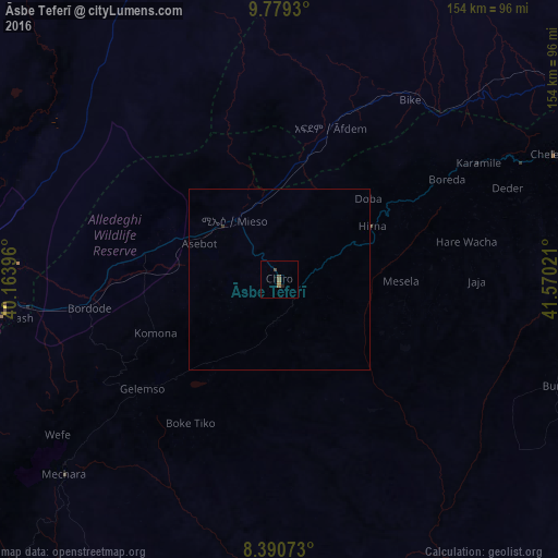
Analysis of Āsbe Teferī night lights 2016
Square area 10x10 km:
 0%
0%90-99
0%80-89
0%70-79
0%60-69
1.73%50-59
1.73%40-49
0.87%30-39
0%20-29
0.65%10-19
0.22%0-9
94.81%Square area 50x50 km:
0%90-99
0%80-89
0%70-79
0%60-69
0.07%50-59
0.07%40-49
0.03%30-39
0.03%20-29
0.03%10-19
0.01%0-9
99.76%Clear (daylight) street map image can be seen on geolist.org.
Map coordinates:
9° 46' 45.5" North, 40° 9' 50.3" East
9° 5' 8.5" North, 40° 52' 1.5" East
8° 23' 26.6" North, 41° 34' 12.8" East
Some cities around Āsbe Teferī sort by population:
• Dire Dawa
123.3 km =76.6 mi,  62°
62°
• Metahāra
106.4 km =66.1 mi,  258°
258°
• Bedēsa
22.6 km =14 mi,  204°
204°
• Gelemso
48.7 km =30.3 mi,  232°
232°
• Hīrna
29.4 km =18.3 mi, 60°
• Āwash
77.7 km =48.3 mi, 261°
• Gewanē
122.6 km =76.2 mi,  348°
348°
• Deder
68 km =42.3 mi,  68°
68°
343402 (p: 30,772)
Sources (retrieved 2019-11-25):
» Earth at Night: Flat Maps 2012, 2016