Bedēsa night lights from space
Night Light of Bedēsa (Oromiya) from space (Ethiopia) Src. Average luminocity for 10x10km area is 0% and for 50x50km: 0.1134%.
Analysis of Bedēsa night lights 2016
Square area 10x10 km:
100  0%
0%
90-99 0%
80-89 0%
70-79 0%
60-69 0%
50-59 0%
40-49 0%
30-39 0%
20-29 0%
10-19 0%
0-9 100%
0%90-99
0%80-89
0%70-79
0%60-69
0%50-59
0%40-49
0%30-39
0%20-29
0%10-19
0%0-9
100%Square area 50x50 km:
100 0%
90-99 0%
80-89 0%
70-79 0%
60-69 0.07%
50-59 0.07%
40-49 0.03%
30-39 0%
20-29 0.03%
10-19 0.01%
0-9 99.8%
0%90-99
0%80-89
0%70-79
0%60-69
0.07%50-59
0.07%40-49
0.03%30-39
0%20-29
0.03%10-19
0.01%0-9
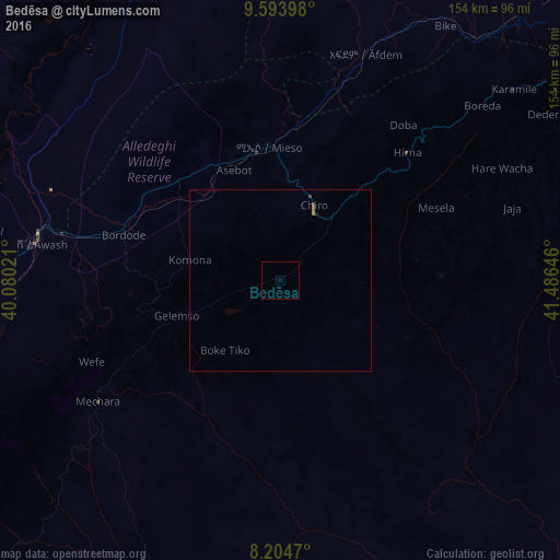
99.8%Clear (daylight) street map image can be seen on geolist.org.
Map coordinates:
9° 35' 38.3" North, 40° 4' 48.8" East
8° 54' 0" North, 40° 46' 60" East
8° 12' 16.9" North, 41° 29' 11.3" East
Some cities around Bedēsa sort by population:
• Dire Dawa
141.6 km =88 mi,  57°
57°
• Āsbe Teferī
22.6 km =14 mi,  24°
24°
• Metahāra
95.2 km =59.2 mi,  270°
270°
• Gelemso
30.7 km =19.1 mi,  252°
252°
• Hīrna
49.5 km =30.8 mi,  44°
44°
• Āwash
68.4 km =42.5 mi,  277°
277°
• Gewanē
141.6 km =88 mi,  353°
353°
• Deder
85.7 km =53.3 mi, 57°
342559 (p: 17,526)
Sources (retrieved 2019-11-25):
» Earth at Night: Flat Maps 2012, 2016