Gelemso night lights from space
Night Light of Gelemso (Oromiya) from space (Ethiopia) Src. Average luminocity for 10x10km area is 0% and for 50x50km: 0.0152%.
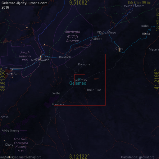
Analysis of Gelemso night lights 2016
Square area 10x10 km:
100  0%
0%
90-99 0%
80-89 0%
70-79 0%
60-69 0%
50-59 0%
40-49 0%
30-39 0%
20-29 0%
10-19 0%
0-9 100%
0%90-99
0%80-89
0%70-79
0%60-69
0%50-59
0%40-49
0%30-39
0%20-29
0%10-19
0%0-9
100%Square area 50x50 km:
100 0%
90-99 0%
80-89 0%
70-79 0%
60-69 0%
50-59 0%
40-49 0.03%
30-39 0%
20-29 0%
10-19 0%
0-9 99.97%
0%90-99
0%80-89
0%70-79
0%60-69
0%50-59
0%40-49
0.03%30-39
0%20-29
0%10-19
0%0-9
99.97%Clear (daylight) street map image can be seen on geolist.org.
Map coordinates:
9° 30' 39" North, 39° 48' 48.8" East
8° 49' 0" North, 40° 31' 0" East
8° 7' 16.4" North, 41° 13' 11.3" East
Some cities around Gelemso sort by population:
• Nazrēt
140.6 km =87.4 mi,  257°
257°
• Āsbe Teferī
48.7 km =30.3 mi,  52°
52°
• Metahāra
66.6 km =41.4 mi,  278°
278°
• Bedēsa
30.7 km =19.1 mi,  72°
72°
• Hīrna
78 km =48.5 mi,  55°
55°
• Āwash
42.7 km =26.5 mi,  295°
295°
• Sirre
126.5 km =78.6 mi,  243°
243°
• Deder
115.6 km =71.8 mi, 61°
337010 (p: 16,065)
Sources (retrieved 2019-11-25):
» Earth at Night: Flat Maps 2012, 2016