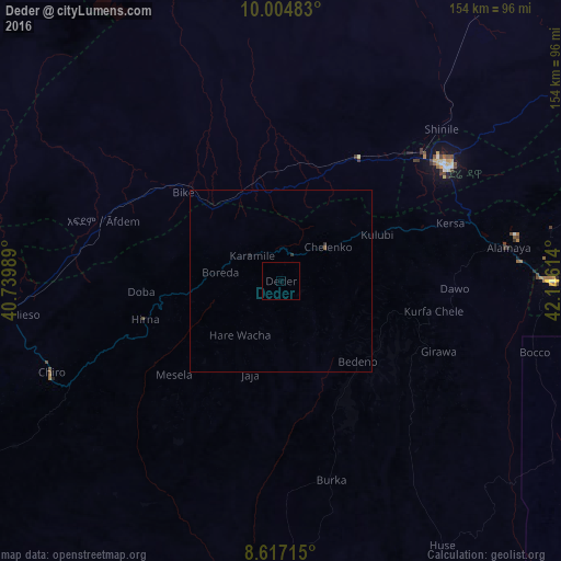
Deder night lights from space
Night Light of Deder (Oromiya) from space (Ethiopia) Src. Average luminocity for 10x10km area is 0% and for 50x50km: 0.0483%.
Analysis of Deder night lights 2016
Square area 10x10 km:
100  0%
0%
90-99 0%
80-89 0%
70-79 0%
60-69 0%
50-59 0%
40-49 0%
30-39 0%
20-29 0%
10-19 0%
0-9 100%
0%90-99
0%80-89
0%70-79
0%60-69
0%50-59
0%40-49
0%30-39
0%20-29
0%10-19
0%0-9
100%Square area 50x50 km:
100 0%
90-99 0%
80-89 0%
70-79 0%
60-69 0%
50-59 0.03%
40-49 0%
30-39 0.03%
20-29 0.04%
10-19 0.03%
0-9 99.86%
0%90-99
0%80-89
0%70-79
0%60-69
0%50-59
0.03%40-49
0%30-39
0.03%20-29
0.04%10-19
0.03%0-9
99.86%Clear (daylight) street map image can be seen on geolist.org.
Map coordinates:
10° 0' 17.4" North, 40° 44' 23.6" East
9° 18' 42" North, 41° 26' 34.8" East
8° 37' 1.7" North, 42° 8' 46.1" East
Some cities around Deder sort by population:
• Dire Dawa
56 km =34.8 mi,  56°
56°
• Harar
74.1 km =46 mi,  89°
89°
• Āsbe Teferī
68 km =42.3 mi,  248°
248°
• Bedēsa
85.7 km =53.3 mi,  237°
237°
• Gelemso
115.6 km =71.8 mi, 241°
• Hīrna
39.1 km =24.3 mi, 254°
• Āwash
144.8 km =90 mi,  255°
255°
• Gewanē
129 km =80.2 mi,  317°
317°
339629 (p: 8,884)
Sources (retrieved 2019-11-25):
» Earth at Night: Flat Maps 2012, 2016