Āwash night lights from space
Night Light of Āwash (Āfar) from space (Ethiopia) Src. Average luminocity for 10x10km area is 3.3203% and for 50x50km: 0.1674%.
Analysis of Āwash night lights 2016
Square area 10x10 km:
 0%
0%90-99
0%80-89
0.87%70-79
0%60-69
0.87%50-59
0%40-49
1.73%30-39
0.87%20-29
1.73%10-19
2.16%0-9
91.77%Square area 50x50 km:
0%90-99
0%80-89
0.03%70-79
0%60-69
0.07%50-59
0%40-49
0.07%30-39
0.03%20-29
0.1%10-19
0.08%0-9
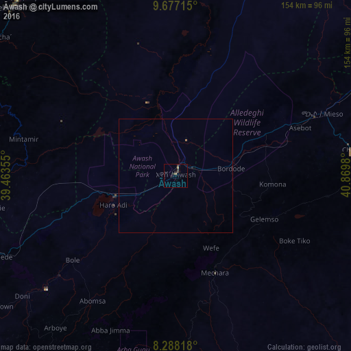
99.61%Clear (daylight) street map image can be seen on geolist.org.
Map coordinates:
9° 40' 37.7" North, 39° 27' 48.8" East
8° 58' 60" North, 40° 10' 0" East
8° 17' 17.4" North, 40° 52' 11.3" East
Some cities around Āwash sort by population:
• Debre Birhan
104.1 km =64.7 mi,  318°
318°
• Āsbe Teferī
77.7 km =48.3 mi,  81°
81°
• Metahāra
29 km =18 mi,  251°
251°
• Bedēsa
68.4 km =42.5 mi,  97°
97°
• Gelemso
42.7 km =26.5 mi,  115°
115°
• Hīrna
105.7 km =65.7 mi, 75°
• Sirre
105.5 km =65.6 mi,  225°
225°
• Debre Sīna
105.9 km =65.8 mi,  335°
335°
343134 (p: 11,415)
Sources (retrieved 2019-11-25):
» Earth at Night: Flat Maps 2012, 2016