Sirre night lights from space
Night Light of Sirre (Oromiya) from space (Ethiopia) Src. Average luminocity for 10x10km area is 0% and for 50x50km: 0.7955%.
Analysis of Sirre night lights 2016
Square area 10x10 km:
100  0%
0%
90-99 0%
80-89 0%
70-79 0%
60-69 0%
50-59 0%
40-49 0%
30-39 0%
20-29 0%
10-19 0%
0-9 100%
0%90-99
0%80-89
0%70-79
0%60-69
0%50-59
0%40-49
0%30-39
0%20-29
0%10-19
0%0-9
100%Square area 50x50 km:
100 0.05%
90-99 0.04%
80-89 0.2%
70-79 0.12%
60-69 0.11%
50-59 0.05%
40-49 0.24%
30-39 0.14%
20-29 0.08%
10-19 0.66%
0-9 98.29%
0.05%90-99
0.04%80-89
0.2%70-79
0.12%60-69
0.11%50-59
0.05%40-49
0.24%30-39
0.14%20-29
0.08%10-19
0.66%0-9
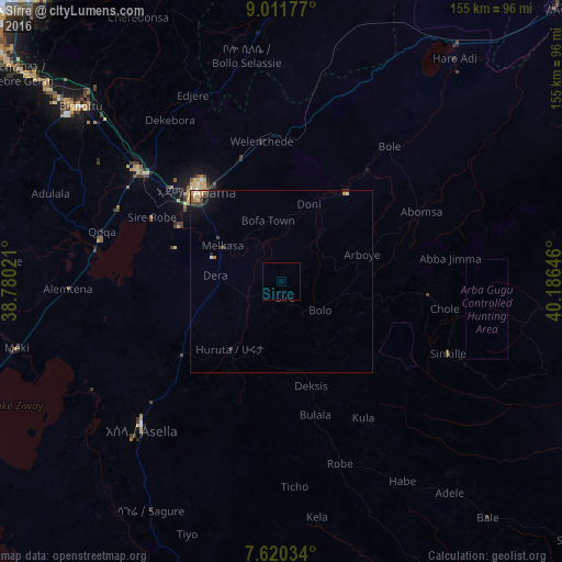
98.29%Clear (daylight) street map image can be seen on geolist.org.
Map coordinates:
9° 0' 42.4" North, 38° 46' 48.8" East
8° 19' 0" North, 39° 28' 60" East
7° 37' 13.2" North, 40° 11' 11.3" East
Some cities around Sirre sort by population:
• Nazrēt
35.2 km =21.9 mi,  317°
317°
• Bishoftu
73.7 km =45.8 mi,  311°
311°
• Ziway
94.5 km =58.7 mi,  243°
243°
• Mojo
49.9 km =31 mi, 307°
• Metahāra
80.5 km =50 mi,  36°
36°
• Wenjī
26.5 km =16.5 mi,  303°
303°
• Huruta
23.6 km =14.7 mi,  218°
218°
• Āwash
105.5 km =65.6 mi,  45°
45°
328316 (p: 10,089)
Sources (retrieved 2019-11-25):
» Earth at Night: Flat Maps 2012, 2016