Metahāra night lights from space
Night Light of Metahāra (Oromiya) from space (Ethiopia) Src. Average luminocity for 10x10km area is 1.2424% and for 50x50km: 0.0674%.
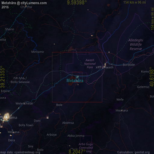
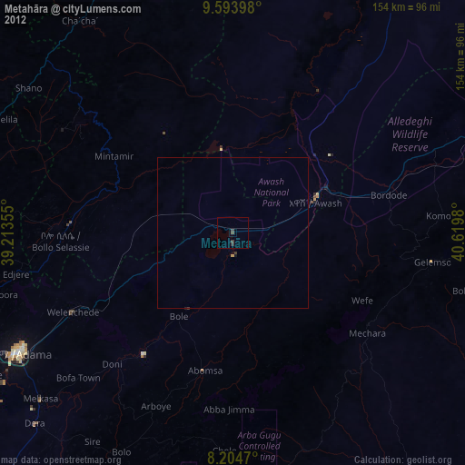
Analysis of Metahāra night lights 2016
Square area 10x10 km:
100  0%
0%
90-99 0%
80-89 0%
70-79 0%
60-69 0%
50-59 0%
40-49 0.87%
30-39 1.73%
20-29 0.65%
10-19 0.22%
0-9 96.54%
0%90-99
0%80-89
0%70-79
0%60-69
0%50-59
0%40-49
0.87%30-39
1.73%20-29
0.65%10-19
0.22%0-9
96.54%Square area 50x50 km:
100 0%
90-99 0%
80-89 0%
70-79 0%
60-69 0%
50-59 0%
40-49 0.05%
30-39 0.08%
20-29 0.03%
10-19 0.01%
0-9 99.83%
0%90-99
0%80-89
0%70-79
0%60-69
0%50-59
0%40-49
0.05%30-39
0.08%20-29
0.03%10-19
0.01%0-9
99.83%Clear (daylight) street map image can be seen on geolist.org.
Map coordinates:
9° 35' 38.3" North, 39° 12' 48.8" East
8° 54' 0" North, 39° 55' 0" East
8° 12' 16.9" North, 40° 37' 11.3" East
Some cities around Metahāra sort by population:
• Nazrēt
81.3 km =50.5 mi,  241°
241°
• Debre Birhan
96.4 km =59.9 mi,  334°
334°
• Mojo
94.1 km =58.5 mi,  248°
248°
• Bedēsa
95.2 km =59.2 mi,  90°
90°
• Wenjī
85.7 km =53.3 mi,  234°
234°
• Gelemso
66.6 km =41.4 mi,  98°
98°
• Āwash
29 km =18 mi,  71°
71°
• Sirre
80.5 km =50 mi,  216°
216°
330811 (p: 23,403)
Sources (retrieved 2019-11-25):
» Earth at Night: Flat Maps 2012, 2016